

- Usage in publication:
-
- Pringle andesite*
- Modifications:
-
- First used
- Dominant lithology:
-
- Andesite
- AAPG geologic province:
-
- Las Vegas-Raton basin
Summary:
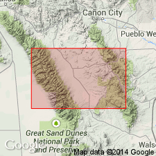
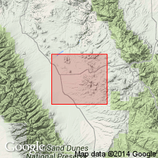
First published use of name. Intent to name, derivation of name, and type section not given. Is a local name, Pringle andesite, applied to a mica-augite-andesite that makes up the upper part of Pringle Hill west of Rosita, Custer Co, CO in the Las Vegas-Raton basin. Occurs as dikes. Age not stated.
Source: GNU records (USGS DDS-6; Denver GNULEX).

- Usage in publication:
-
- Pringle Latite
- Modifications:
-
- Overview
- AAPG geologic province:
-
- Las Vegas-Raton basin
Summary:
Forms stocks and dikes. Probably intruded after eruptions of some unnamed rhyolites and the Bunker Trachyandesite. The largest stock is west of Rosita in sec 29, T22S, R71W, Custer Co, CO in the Las Vegas-Raton basin. Is mineralogically a quartz-bearing latite, but chemically it is a rhyodacite. The Pringle Hill stock is rectangular, elongate to north-northeast, and has an areal size of 5,500 x 3,000 ft. Geologic map. Oligocene age.
Source: GNU records (USGS DDS-6; Denver GNULEX).
- Usage in publication:
-
- Pringle Latite*
- Modifications:
-
- Age modified
- AAPG geologic province:
-
- Las Vegas-Raton basin
Summary:
Is part of late cycle (27 to 26 m.y. b.p. or Miocene) of volcanic rocks at Rosita center, Custer Co, CO in Las Vegas-Raton basin.
Source: GNU records (USGS DDS-6; Denver GNULEX).
For more information, please contact Nancy Stamm, Geologic Names Committee Secretary.
Asterisk (*) indicates published by U.S. Geological Survey authors.
"No current usage" (†) implies that a name has been abandoned or has fallen into disuse. Former usage and, if known, replacement name given in parentheses ( ).
Slash (/) indicates name conflicts with nomenclatural guidelines (CSN, 1933; ACSN, 1961, 1970; NACSN, 1983, 2005, 2021). May be explained within brackets ([ ]).