

- Usage in publication:
-
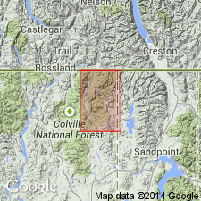
- Priest River group*
- Modifications:
-
- Revised
- AAPG geologic province:
-
- Northern Rocky Mountain region
Summary:
Name changed from Priest River terrane to Priest River Group and extended from CN into Boundary Co, ID and adjoining Pend Oreille Co, WA in the Northern Rocky Mountain region. Mapped in east and central parts of Metaline quad. Is unconformably overlain by newly named Shedroof conglomerate. Is oldest unit in report area. Consists of a complex sequence of low-grade metamorphic rocks that include phyllite, schist, limestone, dolomite, quartzite, and volcanics. The beds are sheared and distorted. The phyllite is finely crystalline and individual minerals cannot be distinguished. Thickness not stated. Correlation chart. Geologic map. Of pre-Cambrian age.
Source: GNU records (USGS DDS-6; Denver GNULEX).
For more information, please contact Nancy Stamm, Geologic Names Committee Secretary.
Asterisk (*) indicates published by U.S. Geological Survey authors.
"No current usage" (†) implies that a name has been abandoned or has fallen into disuse. Former usage and, if known, replacement name given in parentheses ( ).
Slash (/) indicates name conflicts with nomenclatural guidelines (CSN, 1933; ACSN, 1961, 1970; NACSN, 1983, 2005, 2021). May be explained within brackets ([ ]).