- Usage in publication:
-
- Poxino [sic] Island shale
- Modifications:
-
- Named
- Dominant lithology:
-
- Shale
- AAPG geologic province:
-
- Appalachian basin
Summary:
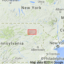
Named Poxino [sic] Island shale for Poxono Island, PA. Consists of a series of buff, greenish, and variegated limy shales, unfossiliferous, underlying Bossardville limestone and overlying Poxino [sic] Island limestone. Thickness is 200 feet. Unit is included in the Lower Helderberg formation and is of Late Silurian age.
Source: GNU records (USGS DDS-6; Reston GNULEX).

- Usage in publication:
-
- Poxono Island shale
- Modifications:
-
- Overview
- AAPG geologic province:
-
- Appalachian basin
Summary:
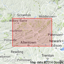
Pg. 1184-1187, measured sections. Poxono Island shale. Consists of calcareous shale weathering light colored, greenish to buff. Interbedded with the shale are local bands of Bloomsburg type. Near base of shale, at type locality, is bed of blue-gray limestone, about 5 feet thick --White's (1882) [Pennsylvania Geol. Survey Rpt. Prog., 2nd ser., v. G6] Poxono Island limestone-- containing great numbers of OSTRACODA. Thickness varies greatly; at Schuylkill River, absent or reduced to thickness of few feet. Gradually thickens northeastward; about 150 feet at Snyders; about 200 feet at Delaware Water Gap and type locality. Underlies Bossardville limestone; overlies and intertongues with Bloomsburg red sandstone. Poxono Island shale and Bossardville limestone are similar to, and homotaxial with, Wills Creek shale and Tonoloway limestone, respectively, of central Pennsylvania and Maryland but lie in a different province and the corresponding formations differ in their time limits. Both are believed to be later than Wills Creek shale.
Source: US geologic names lexicon (USGS Bull. 1200, p. 3124-3125).

- Usage in publication:
-
- Poxono Island Formation*
- Modifications:
-
- Revised
- AAPG geologic province:
-
- Appalachian basin
Summary:
Revised [Redefined] the Poxono Island Shale of White (1882, Pennsylvania Geol. Survey Rpt. Prog., 2nd ser., v. G6) to the Poxono Island Formation because of its heterogeneous lithic character. Consists of laminated to finely bedded, partly mud-cracked, greenish-gray and light-bluish-gray, partly calcareous and argillaceous dolomite, argillaceous gray limestone, and green and pale-olive shale, siltstone, and some sandstone.
Source: Publication; GNU records (USGS DDS-6; Reston GNULEX).

- Usage in publication:
-
- Poxono Island Formation*
- Modifications:
-
- Overview
- AAPG geologic province:
-
- Appalachian basin
Summary:
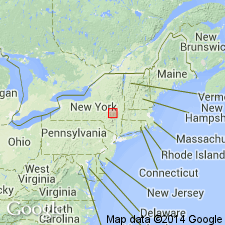
The Poxono Island Formation is about 500 feet thick at Port Jervis, NY, and gradually thins to the north toward Ellenville where it is about 300 feet thick. Consists of laminated, platy, thin-bedded, greenish-gray calcareous siltstone, dolostone, and light-greenish-gray shale. Between Accord and High Falls, NY the Poxono Island grades laterally into the Binnewater Sandstone. The Poxono Island overlies the Bloomsburg Red Beds or the High View Tongue of the Shawangunk Formation and underlies the Bossardville Limestone or Rondout Formation. Unit is of Late Silurian age.
Source: GNU records (USGS DDS-6; Reston GNULEX).
For more information, please contact Nancy Stamm, Geologic Names Committee Secretary.
Asterisk (*) indicates published by U.S. Geological Survey authors.
"No current usage" (†) implies that a name has been abandoned or has fallen into disuse. Former usage and, if known, replacement name given in parentheses ( ).
Slash (/) indicates name conflicts with nomenclatural guidelines (CSN, 1933; ACSN, 1961, 1970; NACSN, 1983, 2005, 2021). May be explained within brackets ([ ]).

