- Usage in publication:
-
- Post River Formation*
- Modifications:
-
- Named
- Biostratigraphic dating
- Dominant lithology:
-
- Siltstone
- Mudstone
- Limestone
- AAPG geologic province:
-
- Alaska West-Central region
Summary:
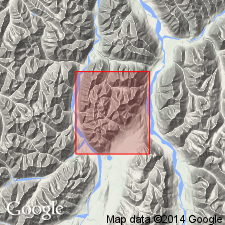
Unit is named the Post River Formation for the Post River, McGrath 1:250,000 quad, AK. Is divided into five members (ascending): lower siltstone member, mudstone member, upper siltstone member, Graptolite Canyon Member (new), and limestone member, Consists mainly of fissile shale, mudstone, and silty and argillaceous limestone. Basal contact is thrust(?) fault; conformably underlies the Terra Cotta Mountains Sandstone (new). Thickness is 465+m. Age is Early Ordovician to Early Silurian (Tremadocian to Llandoverian) based on contained fossils (graptolites).
Source: GNU records (USGS DDS-6; Menlo GNULEX).
For more information, please contact Nancy Stamm, Geologic Names Committee Secretary.
Asterisk (*) indicates published by U.S. Geological Survey authors.
"No current usage" (†) implies that a name has been abandoned or has fallen into disuse. Former usage and, if known, replacement name given in parentheses ( ).
Slash (/) indicates name conflicts with nomenclatural guidelines (CSN, 1933; ACSN, 1961, 1970; NACSN, 1983, 2005, 2021). May be explained within brackets ([ ]).

