
- Usage in publication:
-
- Plattin subgroup [informal]
- Modifications:
-
- Overview
- AAPG geologic province:
-
- Illinois basin
Summary:
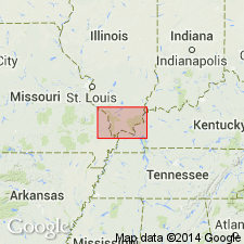
Pg. 68 (fig. O-20), 69+. Plattin subgroup [informal] of Platteville Group. Dominantly fine-grained and lithographic limestone. Includes (ascending) Mifflin Formation, Grand Detour Formation, Nachusa Formation, and Quimbys Mill Formation. Separated from the underlying dolomitic Pecatonica Formation by a minor unconformity. [Age is Middle Ordovician.]
["Subgroup" not recognized as a formal stratigraphic rank term (CSN, 1933; ACSN, 1961, 1970; NACSN, 1983, 2005, 2021). Considered informal and should not be capitalized.]
Source: Publication.
- Usage in publication:
-
- Plattin Formation
- Modifications:
-
- Revised
- Overview
- AAPG geologic province:
-
- Illinois basin
- Ozark uplift
- Upper Mississippi embayment
Summary:
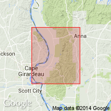
Ordovician (Champlainian) Plattin Formation is combined with underlying Pecatonica Formation because the two are difficult to differentiate and Pecatonica has not been mapped consistently in 7.5-min quadrangles. Pecatonica and Plattin are also combined with thin Decorah Formation, as it was frequently done on the 7.5-min source maps. Consists of light- to medium-gray and brownish-gray "sublithographic" (micritic) limestone and dolomite in thin to thick beds. Characterized by "fucoidal structures" (burrows) filled with dolomite. Plattin also contains pelletal carbonates, intraformational conglomerates, and diverse fossils including brachiopods, gastropods, cephalopods, pelecypods, ostracods, corals, and bryozoans. Also includes nodules of dense, light-colored chert. Thin unit of oolitic limestone, Brickeys Member, occurs near base of Plattin. Thin but widespread Establishment Shale Member directly overlies Brickeys. On outcrop in Missouri, Plattin thickens southeastward from Perry County to Scott County. Willman and others (1975) show Platteville Group (Pecatonica and Plattin) thickening southeastward in Illinois subsurface.
Source: GNU records (USGS DDS-6; Reston GNULEX).
- Usage in publication:
-
- Plattin Formation
- Modifications:
-
- Overview
- AAPG geologic province:
-
- Illinois basin
Summary:
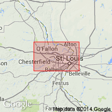
Ordovician (Mohawkian) Plattin Limestone can be classified as either a group or formation in southeastern MO. However, 7.5-min quad mappers treated it as a single unit, with its Brickeys and Establishment Members identifiable in some wells. Consists of brownish-gray mottled and burrowed lime mudstone, similar to that of "Pecatonica Formation." Argillaceous and contains chert, but lacks sand. Contains thin intervals of skeletal grainstone. Brickeys Member at base contains oolitic grainstone and is overlain by very thin but widespread Establishment Shale Member. Three wells in Jonesboro 15-min quad penetrated entire Plattin: 1) Humble No. 1 Pickel well in Mill Creek 7.5-min quad, 432 ft thick; 2) Ohio Oil Co. No. 1 Cross well, Jonesboro 7.5-min quad, 665 ft thick (includes "Pecatonica"); and 3) Mims No. 1 Potashnick well, McClure 7.5-min quad, 693 ft thick (includes "Pecatonica"). Regionally, "Pecatonica" and Plattin thicken southeastward: 500-525 ft in Cape Girardeau 7.5-min quad, 345-420 ft in wells north of study area in Jackson Co., and 715-780 ft in wells to the southeast in Pulaski Co. Contact with overlying Decorah Formation is unconformable.
Source: GNU records (USGS DDS-6; Reston GNULEX).
- Usage in publication:
-
- Plattin Group*
- Modifications:
-
- Overview
- AAPG geologic province:
-
- Illinois basin
- Ozark uplift
Summary:
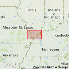
Plattin Group in MO and IL consists of gray mudstone interbedded with thin, laminated to cross-laminated grainstone. Upper part contains thin shale beds; shale forms partings in the middle and lower parts. Generally chert-poor. Fucoid, or burrow markings, are distinctive. In MO, base is placed at prominent oolitic-conglomerate bed (Grohskopf, 1948). Recognized formations differ between MO and IL; there is no acknowledged correlation. Thickness increases from approx. 80 ft (24.4 m) in the west to more than 300 ft (91.5 m) in the east. Mapped undivided in IL with Decorah Group.
Source: GNU records (USGS DDS-6; Reston GNULEX).
- Usage in publication:
-
- Plattin Formation*
- Modifications:
-
- Revised
- AAPG geologic province:
-
- Ozark uplift
- Illinois basin
Summary:
Ordovician (Mohawkian) Plattin Formation reduced from group rank because it has not been subdivided in the Paducah quad. Difficult to differentiate from underlying Pecatonica Formation, here used tentatively as Pecatonica(?) Formation. Mapped undivided with Pecatonica(?) and thin, overlying Decorah Formation.
Source: GNU records (USGS DDS-6; Reston GNULEX).
- Usage in publication:
-
- Plattin Group*
- Modifications:
-
- Areal extent
- Overview
- AAPG geologic province:
-
- Upper Mississippi embayment
Summary:
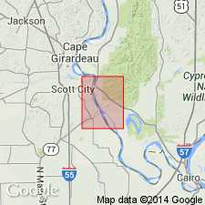
Middle Ordovician (Mohawkian) Plattin Group mapped undivided with Decorah Group and Pecatonica Formation (cross sections and drill logs only) in Upper Mississippi embayment of and MO and Illinois basin in IL. Consists of brownish-gray, lithographic, fossiliferous limestone containing common gray to black, stylolitic clay or shale partings throughout. Establishment Shale, consisting of green shale and intercalated lithographic limestone, occurs at base of Plattin Group. Plattin outcrops in MO only.
Source: GNU records (USGS DDS-6; Reston GNULEX).
For more information, please contact Nancy Stamm, Geologic Names Committee Secretary.
Asterisk (*) indicates published by U.S. Geological Survey authors.
"No current usage" (†) implies that a name has been abandoned or has fallen into disuse. Former usage and, if known, replacement name given in parentheses ( ).
Slash (/) indicates name conflicts with nomenclatural guidelines (CSN, 1933; ACSN, 1961, 1970; NACSN, 1983, 2005, 2021). May be explained within brackets ([ ]).

