

- Usage in publication:
-
- Pinto sandstone*
- Modifications:
-
- First used
- Dominant lithology:
-
- Sandstone
- AAPG geologic province:
-
- Great Basin province
Summary:
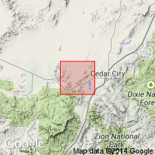
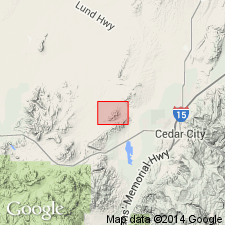
First published use of name. Intent to name, source of geographic name, and designation of a type not stated. [Little Pinto Creek is present at the southwest corner of the quad.] Is mapped in the northeast and southwest parts of the quad, Iron Co, UT in the Great Basin province. Composed of brown, yellow, gray, maroon and spotted, coarse- to fine-grained sandstone. Maroon, purple, and green shales, a few beds of conglomerate and of gray, sandy, brecciated limestone interstratified with sandstone in the lower part of the formation. Generalized section described showing 148 to 253 ft of shale, sandstone, breccia, and conglomerate at base overlain by 1,000+ ft of sandstone. Estimated to be as much as 3,500 ft thick. Overlies Homestake limestone (first used) of Carboniferous age. Intruded by laccolithic andesite of Tertiary age. Is older than Eocene Claron formation (first used). Is gray and white, and quartzitic at or near contact with laccolith. No fossils found; terrestrial deposition implied. Assigned a Cretaceous and Jurassic age on the geologic map.
Source: GNU records (USGS DDS-6; Denver GNULEX).
- Usage in publication:
-
- Pinto sandstone*†
- Modifications:
-
- Abandoned
Summary:
Name abandoned. Pinto as originally defined included all sedimentary rocks above the Homestake limestone member (new stratigraphic rank) of the Carmel formation of Jurassic age and base of the Claron formation of Eocene age. These rocks are assigned to the Entrada sandstone (Jurassic) and Iron Springs Formation (Upper? Cretaceous) in this report. The maroon beds of the original Pinto beneath the unconformity are the Entrada. The beds above the unconformity and below the Claron are the Iron Springs.
Source: GNU records (USGS DDS-6; Denver GNULEX).
For more information, please contact Nancy Stamm, Geologic Names Committee Secretary.
Asterisk (*) indicates published by U.S. Geological Survey authors.
"No current usage" (†) implies that a name has been abandoned or has fallen into disuse. Former usage and, if known, replacement name given in parentheses ( ).
Slash (/) indicates name conflicts with nomenclatural guidelines (CSN, 1933; ACSN, 1961, 1970; NACSN, 1983, 2005, 2021). May be explained within brackets ([ ]).