

- Usage in publication:
-
- Osobb formation*
- Modifications:
-
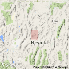
- Mapped
- Areal extent
- Dominant lithology:
-
- Quartzite
- Shale
- AAPG geologic province:
-
- Great Basin province
Summary:
Osobb formation is geographically extended into the Mount Moses quadrangle (scale 1:100,000) quadrangle, north central Nevada. Consists of white quartzite and some shale, both intensely altered by contact metamorphism. Exposed thickness less than 500 feet; only lower part exposed. Overlies the Cane Spring formation. Age is Late Triassic.
Source: Publication; GNU records (USGS DDS-6; Menlo GNULEX).
- Usage in publication:
-
- Osobb formation*
- Modifications:
-
- Original reference
- Dominant lithology:
-
- Quartzite
- Sandstone
- Shale
- AAPG geologic province:
-
- Great Basin province
Summary:
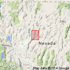
Osobb formation. Quartzitic sandstone, shale, and some lenses of limestone and dolomite. Sandstone markedly cross-bedded; some limestone and dolomite of bioclastic origin. Exposed thickness about 2,000 feet. Conformably overlies Cane Spring formation (new); upper plate of Tobin thrust. Interpreted to represent shallow water deposition. Age is Late Triassic, based on fossils [mollusks].
Type locality: southwest slope of Augusta Mountain at north end of Dixie Valley (Osobb Valley of 40th Parallel Survey).
Source: US geologic names lexicon (USGS Bull. 1200, p. 2865-2866); GNU records (USGS DDS-6; Menlo GNULEX).
- Usage in publication:
-
- Osobb Formation*
- Modifications:
-
- Revised
- Age modified
- AAPG geologic province:
-
- Great Basin province
Summary:
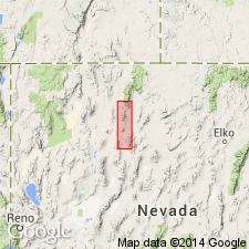
Osobb Formation is named as the second of 9 formations of the Auld Lange Syne Group. Type locality of Muller and others (1951) redesignated as type area; new, more geographically restricted type locality designated: sec. 21, T25N R39E, Cain Mountain 15' quad, Pershing Co., NV. Overlies the Cane Spring Formation in the northern Augusta Mountain; overlies the Natchez Pass Formation and underlies the Dun Glen Formation in southern Tobin Range. Interfingers with the Grass Valley Formation. Age is Late Triassic (Norian).
Source: GNU records (USGS DDS-6; Menlo GNULEX).
For more information, please contact Nancy Stamm, Geologic Names Committee Secretary.
Asterisk (*) indicates published by U.S. Geological Survey authors.
"No current usage" (†) implies that a name has been abandoned or has fallen into disuse. Former usage and, if known, replacement name given in parentheses ( ).
Slash (/) indicates name conflicts with nomenclatural guidelines (CSN, 1933; ACSN, 1961, 1970; NACSN, 1983, 2005, 2021). May be explained within brackets ([ ]).