

- Usage in publication:
-
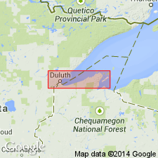
- Orienta sandstone
- Modifications:
-
- Named
- Dominant lithology:
-
- Sandstone
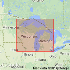
- AAPG geologic province:
-
- Wisconsin arch
Summary:
Named as lowest formation of Bayfield sandstone group (new). Named for exposures in quarries near Orienta, Bayfield Co., northwestern WI. Consists of (descending) 1) mainly white and red sandstone with few ripple marks, 300 to 400 ft; 2) upper brownstone (of Port Wing), 500 to 700 ft; 3) Copper Creek beds, 75 to 100 ft; 4) main beds (brown, red, and white sandstones becoming progressively more feldspathic toward bottom, with thin beds of red shale, 1,800 to 2,000 ft. Conformably overlies Amnicon formation of Oronto group; underlies Devils Island sandstone (new) of Bayfield group. Age is Precambrian (upper Keweenawan).
Source: GNU records (USGS DDS-6; Reston GNULEX).
- Usage in publication:
-
- Orienta Formation
- Modifications:
-
- Revised
- Age modified
- AAPG geologic province:
-
- Wisconsin arch
Summary:
Is part of Bayfield Group which is in turn assigned to Keweenawan Supergroup. Age is Middle Proterozoic.
Source: GNU records (USGS DDS-6; Reston GNULEX).
For more information, please contact Nancy Stamm, Geologic Names Committee Secretary.
Asterisk (*) indicates published by U.S. Geological Survey authors.
"No current usage" (†) implies that a name has been abandoned or has fallen into disuse. Former usage and, if known, replacement name given in parentheses ( ).
Slash (/) indicates name conflicts with nomenclatural guidelines (CSN, 1933; ACSN, 1961, 1970; NACSN, 1983, 2005, 2021). May be explained within brackets ([ ]).