

- Usage in publication:
-
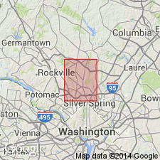
- Northwest Branch Formation*
- Modifications:
-
- Named
- Dominant lithology:
-
- Meta-arenite
- Schist
- Quartzite
- AAPG geologic province:
-
- Piedmont-Blue Ridge province
Summary:
Named the Northwest Branch Formation for Northwest Branch, Montgomery Co., MD. Consists of light-gray, medium-grained, well-bedded quartz-plagioclase-biotite meta-arenite and lesser quartzite and calc-silicate rock. Also contains interbedded gray, medium- to coarse-grained schist similar to the Loch Raven Schist. Beds range from 0.5 inches to 4 feet thick. Thickness of unit was not determined because base of unit is a thrust fault. Underlies Loch Raven Schist. The Northwest Branch is of Late Proterozoic and Early Cambrian age.
Source: GNU records (USGS DDS-6; Reston GNULEX).
For more information, please contact Nancy Stamm, Geologic Names Committee Secretary.
Asterisk (*) indicates published by U.S. Geological Survey authors.
"No current usage" (†) implies that a name has been abandoned or has fallen into disuse. Former usage and, if known, replacement name given in parentheses ( ).
Slash (/) indicates name conflicts with nomenclatural guidelines (CSN, 1933; ACSN, 1961, 1970; NACSN, 1983, 2005, 2021). May be explained within brackets ([ ]).