

- Usage in publication:
-
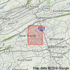
- New Tripoli Formation*
- Modifications:
-
- Named
- Dominant lithology:
-
- Graywacke
- Slate
- Siltstone
- AAPG geologic province:
-
- Appalachian basin
Summary:
New Tripoli Formation named and described. Composed of medium-dark-gray, light-olive-brown weathering, thin, evenly bedded, calcareous graywacke interbedded with fairly thick slate and calcisiltite beds of up to 20 in (50 cm) thickness. Upper contact transitional with Shochary Sandstone. Lower contact not exposed because of faulting. Approximate minimum thickness is 4900 ft (1500 m).
Source: GNU records (USGS DDS-6; Reston GNULEX).
For more information, please contact Nancy Stamm, Geologic Names Committee Secretary.
Asterisk (*) indicates published by U.S. Geological Survey authors.
"No current usage" (†) implies that a name has been abandoned or has fallen into disuse. Former usage and, if known, replacement name given in parentheses ( ).
Slash (/) indicates name conflicts with nomenclatural guidelines (CSN, 1933; ACSN, 1961, 1970; NACSN, 1983, 2005, 2021). May be explained within brackets ([ ]).