- Usage in publication:
-
- Nashville group
- Modifications:
-
- Named
- Dominant lithology:
-
- Limestone
- AAPG geologic province:
-
- Cincinnati arch
Summary:
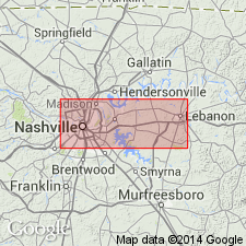
Named Nashville group for Nashville, TN. The lower 60-80 feet is a well-characterized member of siliceous or sandy limestone; remaining 260 feet has simply been divided equally into upper and lower Nashville beds, consisting of thick-bedded blue and blackish-blue limestone changing into thinner layers separated by seams and, rarely, beds of shale, generally granular, often gritty and impure, and prone to disintegrate. Underlies Harpeth and Tennessee group and overlies Stones River group. Unit is considered of Middle and Late Ordovician age.
Source: GNU records (USGS DDS-6; Reston GNULEX).

- Usage in publication:
-
- Nashville Formation*
- Modifications:
-
- Revised
- AAPG geologic province:
-
- Appalachian basin
Summary:
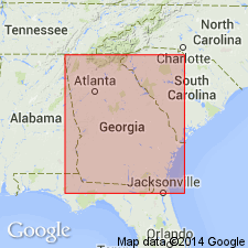
The Nashville Formation is assigned to the Chickamauga Group in the Chickamauga terrane in AL, as used by Drahovzal and Neathery (1971). It overlies the Stones River Formation and underlies the Inman Formation. The Nashville Group of the Chickamauga Supergroup as defined by Milici and Smith (1969) including the Hermitage Formation, Cannon Limestone, and Catheys Formation, is used in GA, where it overlies the Stones River Group and underlies the Sequatchie Formation. Age is Middle Ordovician.
Source: GNU records (USGS DDS-6; Reston GNULEX).

- Usage in publication:
-
- Nashville Formation
- Modifications:
-
- Revised
- AAPG geologic province:
-
- Appalachian basin
Summary:
Catheys (Catoosa Co.) and Cannon and Hermitage (Walker Co.) regarded as members of Nashville Formation of Chickamauga Group in this report, following the nomenclature of Carter and Chowns (1986: AL Geol. Soc. Guidebook, 23rd Ann. Field Trip) and Carter and Chowns (in press: Amer. Assoc. Pet. Geol., Studies in Geology). Nashville overlies Stones River Formation.
Source: GNU records (USGS DDS-6; Reston GNULEX).

- Usage in publication:
-
- Nashville Group*
- Modifications:
-
- Overview
- AAPG geologic province:
-
- Cincinnati arch
Summary:
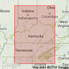
The Nashville Group in the central basin of Tennessee includes (ascending) the Hermitage Formation, Bigby-Cannon Limestone (as used by Wilson, 1949), and Catheys Formation. Unit overlies the Stones River Group and correlates with the Lexington Limestone, Clays Ferry Formation, and Kope Formation of Kentucky. The Nashville is of Middle and Late Ordovician age, ranging from Kirkfieldian to Edenian.
Source: GNU records (USGS DDS-6; Reston GNULEX).
For more information, please contact Nancy Stamm, Geologic Names Committee Secretary.
Asterisk (*) indicates published by U.S. Geological Survey authors.
"No current usage" (†) implies that a name has been abandoned or has fallen into disuse. Former usage and, if known, replacement name given in parentheses ( ).
Slash (/) indicates name conflicts with nomenclatural guidelines (CSN, 1933; ACSN, 1961, 1970; NACSN, 1983, 2005, 2021). May be explained within brackets ([ ]).

