

- Usage in publication:
-
- Naha Alluvium*
- Modifications:
-
- Redescribed
- Overview
- Dominant lithology:
-
- Alluvium
- Sand
- Silt
- AAPG geologic province:
-
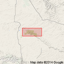
- San Juan basin
Summary:
Redescribed as alluvium after formation of Hack (1941). Is upper Holocene formation mapped undifferentiated with Tsegi Alluvium (redescribed) in San Juan and McKinley Cos, NM (San Juan basin). Is grayish-brown, friable to slightly hard, thinly laminated and cross-stratified sand and silt in discontinuous layers. Fills washes of ephemeral streams. Forms entire alluvial column near center of Chaco Wash. Forms upper 4 ft of alluvial column where it overlies Tsegi Alluvium near sides of Chaco Wash. Lacks zonal soil in upper part, but thicker deposits may contain buried clay or humus-rich horizons. In vertical banks along centers of deep washes, commonly shows a complex sequence of cut-and-fill channels (Bryan, 1954, and Hall, 1977). As mapped includes some sheetwash alluvium and alluvial fans along valley walls. Top of terrace lies as much as 35 ft above arroyo floors. Locally contains abundant shards of prehistoric pottery in upper 20 ft or less along Chaco Wash (Bryan, 1954). Thickness ranges from 10 ft to more than 20 ft. Overlies Tsegi Alluvium along deep arroyos of Chaco Wash.
Source: GNU records (USGS DDS-6; Denver GNULEX).
- Usage in publication:
-
- Naha? Alluvium*
- Modifications:
-
- Areal extent
- Geochronologic dating
- AAPG geologic province:
-
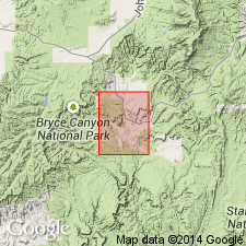
- Plateau sedimentary province
- Paradox basin
Summary:
Is provisionally extended into southern UT; mapped in northern Kane Co, UT in Plateau sedimentary province and in southern Garfield Co, UT in Paradox basin. Is predominantly valley-fill alluvium consisting of unconsolidated sand and silt and minor gravel; living and dead juniper trees partially buried in alluvium are common. Is 5-20 ft thick; forms terrace 5-20 ft above modern alluvium. Radiocarbon dates indicate deposition after about A.D. 1200 with deposition ending in early 1880s. Radiocarbon dates of A.D. 1552 +/-112 yr and A.D. 1208 +/-108 yr from pith of juniper tree buried by Naha? Alluvium. Dates indicate that the deposits are approximate time equivalents of the typical Naha in northern AZ, although correlation with the northern AZ unit is uncertain. Age is late Holocene.
Source: GNU records (USGS DDS-6; Denver GNULEX).
For more information, please contact Nancy Stamm, Geologic Names Committee Secretary.
Asterisk (*) indicates published by U.S. Geological Survey authors.
"No current usage" (†) implies that a name has been abandoned or has fallen into disuse. Former usage and, if known, replacement name given in parentheses ( ).
Slash (/) indicates name conflicts with nomenclatural guidelines (CSN, 1933; ACSN, 1961, 1970; NACSN, 1983, 2005, 2021). May be explained within brackets ([ ]).