

- Usage in publication:
-
- Mono Creek Granite*
- Modifications:
-
- Named
- Geochronologic dating
- Dominant lithology:
-
- Granite
- AAPG geologic province:
-
- Sierra Nevada province
Summary:
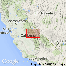
Named for exposures in recesses along tributaries to Mono Creek [37 deg 50' 07"N, 119 deg 00' 54"W, Fresno Co, CA] which are designated type locality. Is 2nd youngest unit of John Muir Intrusive Suite (new). Forms single pluton except small pluton formerly called McGee Creek mass (Bateman, 1985) crops out farther south in range front east of Mount Humphreys and small mass (called quartz monzonite of Turret Peak by Lockwood and Lydon, 1975) which lies southwest of main mass. Typical rock is megacrystic with blocky alkali-feldspar megacrysts averaging 1.4x2.5 cm set in medium-grained groundmass. Intrudes Round Valley Peak, Lake Edison (new) and Mount Givens Granodiorites; granite of Chickenfoot Lake leucogranite of Graveyard Peak; and granodiorites of King Creek, Fish Creek, and Margaret Lake. U-Pb ages of 93 and 90 Ma indicate Late Cretaceous age.
Source: GNU records (USGS DDS-6; Menlo GNULEX).
For more information, please contact Nancy Stamm, Geologic Names Committee Secretary.
Asterisk (*) indicates published by U.S. Geological Survey authors.
"No current usage" (†) implies that a name has been abandoned or has fallen into disuse. Former usage and, if known, replacement name given in parentheses ( ).
Slash (/) indicates name conflicts with nomenclatural guidelines (CSN, 1933; ACSN, 1961, 1970; NACSN, 1983, 2005, 2021). May be explained within brackets ([ ]).