

- Usage in publication:
-
- Molina Member*
- Modifications:
-
- Named
- Reference
- Dominant lithology:
-
- Sandstone
- Claystone
- AAPG geologic province:
-
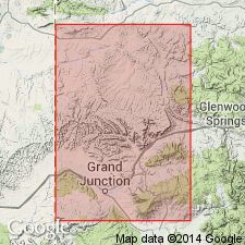
- Piceance basin
Summary:
Named as middle member of Wasatch Formation for exposures on prominent hill north of Plateau Creek about 1 mi west of Molina, the type locality, in Mesa Co, CO in Piceance basin. Three reference sections designated: 1) N1/2 sec 24, T9S, R97W; 2) S1/2 sec 31, T9S, R95W and N1/2 sec 6, T10S, R95W; 3) NW1/4 sec 4, T10S, R96W. Characterized by thick-bedded brown arkosic ledge-forming sandstone. Locally sandstones are red, green, or gray and have minor claystone partings. Proportion of claystone increases to west; on Chalk Mountain and on Winter Flats sandstone replaced by claystone and sandstone. Becomes conglomeratic (pebbles up to several inches in diameter) east of DeBeque cutoff road. Ranges from wedge to 500 ft thick and possibly 600+ ft in subsurface. Basal contact with Atwell Gulch Member is sharp and is placed at base of lowest arkosic sandstone; upper contact with Shire Member placed at top of persistent sandstone. Is unfossiliferous; age determined by age of overlying and underlying members; assigned to Eocene.
Source: GNU records (USGS DDS-6; Denver GNULEX).
- Usage in publication:
-
- Molina Member*
- Modifications:
-
- Age modified
- AAPG geologic province:
-
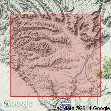
- Piceance basin
Summary:
Is middle of three members of Wasatch Formation. Study area is in DeBeque area, Mesa Co, CO, southwest Piceance basin. Samples collected for pollen fossils were barren, however, late Paleocene pollen was obtained from a sample collected 0.3 m below base of Molina. Authors tentatively suggest that age of Molina is late Paleocene although age on record remains Eocene. Cross section. Conformably overlies Atwell Gulch Member of Wasatch; conformably underlies Shire Member of Wasatch.
Source: GNU records (USGS DDS-6; Denver GNULEX).
- Usage in publication:
-
- Molina Member*
- Modifications:
-
- Mapped 1:24k
- Age modified
- Dominant lithology:
-
- Sandstone
- Mudstone
- AAPG geologic province:
-
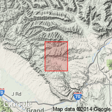
- Piceance basin
Summary:
Mapped in northern half of quad, north of DeBeque anticline, Garfield and Mesa Cos, CO, Piceance basin. Is middle of three members of Wasatch Formation. Consists of mostly gray and brown sandstone, interlayered with nonlaminated gray mudstone. Sandstone units are 3-50 ft thick and constitute 25-70% of member. Sandstone is fine to medium grained, well sorted to moderately well sorted; shows parallel horizontal lamination, trough cross lamination and drift-ripple lamination. Sandstone grades to southwest into purple and maroon mudstone containing a few lenticular sandstone units. Where sandstone makes up less than 25% of rock, unit is mapped with lower part of Shire Member of Wasatch. Basal sandstone unit of Molina persists throughout quad and becomes base of Shire where Molina is not mapped. Conformably overlies Atwell Gulch Member of Wasatch. Thickness is 220-450 ft. Cross section. Cites Johnson and May (1978) for late Paleocene to middle Eocene age. [Johnson and May tentatively suggest a late Paleocene age for Molina based on fossil pollen found 0.3 m below base of Molina, however, they retain Eocene age.]
Source: GNU records (USGS DDS-6; Denver GNULEX).
For more information, please contact Nancy Stamm, Geologic Names Committee Secretary.
Asterisk (*) indicates published by U.S. Geological Survey authors.
"No current usage" (†) implies that a name has been abandoned or has fallen into disuse. Former usage and, if known, replacement name given in parentheses ( ).
Slash (/) indicates name conflicts with nomenclatural guidelines (CSN, 1933; ACSN, 1961, 1970; NACSN, 1983, 2005, 2021). May be explained within brackets ([ ]).