

- Usage in publication:
-
- Missoula group
- Modifications:
-
- Original reference
- Dominant lithology:
-
- Quartzite
- Argillite
- Sandstone
- AAPG geologic province:
-
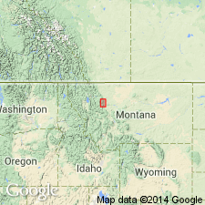
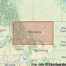
- Northern Rocky Mountain region
Summary:
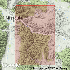
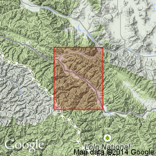
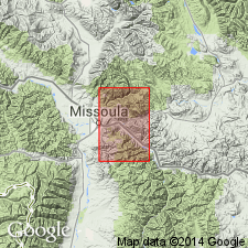
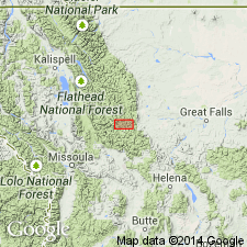
Pg. 677, figs. 2, 3. Missoula group. Divided into (descending): Sheep Mountain formation, 1,000 to 2,300 feet; Garnet Range formation, 7,600 feet; McNamara formation, 3,000 feet; Hellgate formation, 2,200 feet; Miller Peak formation, 2,900 feet. Rests conformably on Wallace (Siyeh) limestone. [Recognized in central western Montana, Missoula to Helena region.] Thickest exposures lie in mountains east of city of Missoula, [Powell County, Montana]. Age is pre-Cambrian (Belt).
Source: US geologic names lexicon (USGS Bull. 896, p. 1388).

- Usage in publication:
-
- Missoula group
- Modifications:
-
- [Principal reference]
- Revised
- AAPG geologic province:
-
- Northern Rocky Mountain region
Summary:
Pg. 1900-1901. Missoula group. Consists of argillites, quartzites, and sandstones, with minor beds of conglomerate, limestone, and calcareous shale. Ripple marks, mud cracks, salt crystal casts, and rain prints characteristic. Thickness 10,000 to 18,000 feet. Type locality given. In Glacier National Park, consists of Miller Peak formation below and about 4,800 feet of undifferentiated unnamed beds above. Overlies Sheppard formation of Piegan group (new). Term Missoula antedates and reduces to synonomy term Boulder Pass formation (Fenton and Fenton, 1931). [Age is Precambrian (Belt).]
Type locality: slopes east and west of Rattlesnake Creek, northeast of Missoula, [Bonner quadrangle (scale 1:125,000), Powell Co., Lolo National Forest], western MT.
Source: US geologic names lexicon (USGS Bull. 1200, p. 2430-2531).
- Usage in publication:
-
- Missoula group*
- Modifications:
-
- Not used
- AAPG geologic province:
-
- Northern Rocky Mountain region
Summary:
Pg. 211. Missoula group. In Saypo quadrangle, Miller Peak argillite, Cayuse limestone (new), Hoadley formation (new), and Ahorn quartzite (new) are equivalent in age to lower and middle part of Missoula group of Clapp and Deiss (1931) in Sapphire and Garnet Ranges, Montana.
Source: US geologic names lexicon (USGS Bull. 1200, p. 2430-2531).
- Usage in publication:
-
- Missoula group*
- Modifications:
-
- Areal extent
- AAPG geologic province:
-
- Northern Rocky Mountain region
Summary:
Sheet 1. Missoula group. In central western Montana, includes (descending) Sheep Mountain quartzite, Garnet Range formation, McNamara formation, Hellgate formation, and Miller Peak formation. Overlies Siyeh group. [Age is Precambrian (Belt).]
Source: US geologic names lexicon (USGS Bull. 1200, p. 2430-2531).
- Usage in publication:
-
- Missoula group*
- Modifications:
-
- Revised
- AAPG geologic province:
-
- Northern Rocky Mountain region
Summary:
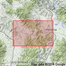
Revised in that Missoula group of Belt series is divided (ascending) into the Spruce formation (new), Lupine quartzite (new), Sloway formation (new), Bouchard formation (new), and the feldspathic quartzite of Rock Rabbit Ridge. Overlies Wallace formation of Belt series. Unconformably underlies Paleozoic rocks. These five divisions may equate to the Missoula of the Missoula area, but uncertainty exists because of the distance from report area to Missoula, MT in the Northern Rocky Mountain region. The five mapped units are about 16,000 ft thick--Spruce, 3,500 +/-ft; Lupine, 3,000 +/-ft; Sloway, 5,000 +/-ft; Bouchard, 4,000+ ft; and the unnamed quartzite, 700+ ft. The upper formations are described separately. The only known outcrop of the unnamed unit is on Rock Rabbit Ridge where the feldspathic quartzite is medium to coarse grained, pink, white, or reddish-purple, vitreous, and in beds 1-8 ft thick, and where the unit is color banded and has cross laminae. The unnamed unit may be equivalent to the Sheep Mountain formation. Geologic map. Is of Precambrian age.
Source: GNU records (USGS DDS-6; Denver GNULEX).
- Usage in publication:
-
- Missoula group*
- Modifications:
-
- Revised
- AAPG geologic province:
-
- Northern Rocky Mountain region
Summary:
Is the uppermost group of Belt series. Revised in Bonner quad, Missoula Co, MT in the Northern Rocky Mountain region to include Miller Peak argillite (revised and redefined) and its Hellgate quartzite member (reduced in stratigraphic rank to member of Miller Peak), Bonner quartzite (new, replaces use of middle member of original McNamara), Garnet Range quartzite (redefined from Garnet Range formation), and Pilcher quartzite (new, replaces term Sheep Mountain formation which is abandoned in this report). Type localities of all of these formations are in the Bonner quad. Of Precambrian age. Geologic map. Stratigraphic chart.
Source: GNU records (USGS DDS-6; Denver GNULEX).
- Usage in publication:
-
- Missoula Group
- Modifications:
-
- Reference
- AAPG geologic province:
-
- Northern Rocky Mountain region
Summary:
Pg. 348. Missoula Group. In Camp Creek section, upper part of Missoula divided into (descending) Garnet Range Formation, McNamara Formation, and Bonner Quartzite; lower part of Missoula divided into (descending) Shields, Shepard, and Snowslip Formations. Age is Precambrian.
Reference section: along crest of ridge parallel to and northwest of Camp Creek, in unsurveyed secs. 22, 28, and 33, T. 20 N., R. 12 W., Ovando quadrangle [Trap Mountain and Pilot Peak 7.5-min quadrangles], Powell Co., central western MT.
Source: GNU records (USGS DDS-6; Denver GNULEX).

- Usage in publication:
-
- Missoula Group*
- Modifications:
-
- Revised
- Overview
- AAPG geologic province:
-
- Northern Rocky Mountain region
Summary:
The following formations are abandoned: 1) Bouchard Formation, 2) Greenhorn Mountain Quartzite, 3) Kintla Argillite, 4) Lupine Quartzite, 5) Marsh Formation, 6) Sloway Formation, 7) Spruce Formation and replaced by: 1) Garnet Range Formation, 2) Bonner Quartzite, 3) various units in lower part of group, 4) Bonner Quartzite, 5) Snowslip, Shepard, and Mount Shields Formations, 6) McNamara Formation, 7) Miller Peak Formation. Designation changed from Miller Peak Argillite to Miller Peak Formation and areal extent limited to environs of Missoula, MT. Missoula Group of Belt Supergroup of Precambrian age recognized in the Northern Rocky Mountain region. Correlation of units within group are shown on figs 4, 5, 7, and 13.
Source: GNU records (USGS DDS-6; Denver GNULEX).

- Usage in publication:
-
- Missoula Group*
- Modifications:
-
- Revised
- AAPG geologic province:
-
- Northern Rocky Mountain region
Summary:
Sequence of formations mapped in Missoula Group of Belt Supergroup in Sun River Canyon area, Lewis and Clark and Teton Cos, MT in the Northern Rocky Mountain region. Deiss (1943) and Mudge (1966) recognized Hoadley Formation and Ahorn Quartzite or Sandstone. Hoadley and Ahorn abandoned. Red and tan siltstone member of Hoadley replaced by Snowslip Formation. Tan siltstone member of Hoadley replaced by Shepard Formation. Red sandstone and red siltstone members of Hoadley replaced by Mount Shields Formation. Lower member of Ahorn replaced by Bonner Quartzite. Upper member of Ahorn replaced by McNamara Formation. Missoula is of Precambrian age. Correlation chart. Geologic map.
Source: GNU records (USGS DDS-6; Denver GNULEX).
- Usage in publication:
-
- Missoula Group*
- Modifications:
-
- Revised
- AAPG geologic province:
-
- Northern Rocky Mountain region
Summary:
Greyson Formation [of Missoula Group of Belt Supergroup] and Appekunny Argillite (or Formation) [of Ravalli Group of Belt Supergroup] are names applied to the same rocks in Glacier National Park, Glacier Co, MT in the Northern Rocky Mountain region. Greyson is the older term and is used in preference to Appekunny. Name Appekunny abandoned. Of Precambrian Y age.
Source: GNU records (USGS DDS-6; Denver GNULEX).
- Usage in publication:
-
- Missoula Group*
- Modifications:
-
- Areal extent
- AAPG geologic province:
-
- Northern Rocky Mountain region
Summary:
The Middle Proterozoic Garnet Range and Pilcher Formations, at the top of the Missoula Group are present 80 km west of the map area, but they were eroded from the map area Northern Rocky Mountain region prior to the deposition of the Middle Cambrian Flathead Quartzite. A minimum of 2,500 m of Middle Proterozoic rocks were eroded over a lateral distance of about 30 km. In report area, Flathead rests on the McNamara Formation of the Missoula Group.
Source: GNU records (USGS DDS-6; Denver GNULEX).
For more information, please contact Nancy Stamm, Geologic Names Committee Secretary.
Asterisk (*) indicates published by U.S. Geological Survey authors.
"No current usage" (†) implies that a name has been abandoned or has fallen into disuse. Former usage and, if known, replacement name given in parentheses ( ).
Slash (/) indicates name conflicts with nomenclatural guidelines (CSN, 1933; ACSN, 1961, 1970; NACSN, 1983, 2005, 2021). May be explained within brackets ([ ]).