

- Usage in publication:
-
- Minersville tuff [member]
- Modifications:
-
- Named
- Dominant lithology:
-
- Tuff
- AAPG geologic province:
-
- Great Basin province
Summary:
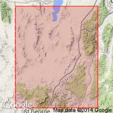
Named as the upper of two members of Needles Range Formation (new) for its occurrence in Minersville Canyon of Beaver River, Beaver Co, UT in Great Basin province. These exposures designated the type locality. Is chiefly a dark-gray to black devitrified tuff several hundred ft thick. Underlain by Wah Wah Springs tuff [member] (new) of Needles Range formation. Overlain by Isom formation (new). Of Eocene or Oligocene age.
Source: GNU records (USGS DDS-6; Denver GNULEX).
- Usage in publication:
-
- Minersville Tuff†
- Modifications:
-
- Abandoned
Summary:
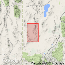
Is altered and faulted in Minersville Canyon. Stratigraphic relations are obscure. Name was intended for an amphibole-rich quartz-poor tuff in Minersville Canyon and in the northern Needles Range. Tuff at both these localities is equivalent to the Wah Wah Springs Member of Needles Range Formation at its type locality. Term Wah Wah Springs preferred because of better exposures at its type locality. Some might also think some rocks assigned to the Lund Tuff Member, newly named in this report, are part of Minersville. Name Minersville abandoned because of confusion surrounding name.
Source: GNU records (USGS DDS-6; Denver GNULEX).
For more information, please contact Nancy Stamm, Geologic Names Committee Secretary.
Asterisk (*) indicates published by U.S. Geological Survey authors.
"No current usage" (†) implies that a name has been abandoned or has fallen into disuse. Former usage and, if known, replacement name given in parentheses ( ).
Slash (/) indicates name conflicts with nomenclatural guidelines (CSN, 1933; ACSN, 1961, 1970; NACSN, 1983, 2005, 2021). May be explained within brackets ([ ]).