

- Usage in publication:
-
- Michigamme formation*
- Modifications:
-
- Named
- Dominant lithology:
-
- Slate
- Schist
- Graywacke
- Gneiss
- AAPG geologic province:
-
- Lake Superior region
Summary:
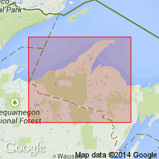
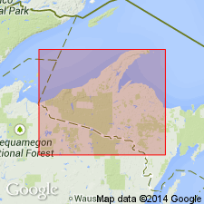
Pg. 598. Michigamme formation. Top formation (of 3) of Upper Marquette series in Marquette district. Mapped (pl. XIII) in broad area westward from vicinity of Ishpeming to Michigamme. Consists chiefly of slates and graywackes east of Michigamme Lake, and schists and gneisses in the Michigamme Lake district. Slates and graywackes are gray to black and consist mainly of fragmental quartz and feldspar set in a clayey and micaceous matrix. Ferruginous slates and graywackes occur at a consistent horizon in lower part. Mica-schist in places exhibits original bedding; garnet, staurolite, chlorotoid, and andalusite often plentifully present. Gneiss is pegmatized; pegmatized areas grade into ordinary mica-schist. Thickness 1,000 to 2,000 feet. Upper contact not discussed; overlies Ishpeming formation with gradational contact. [†Ishpeming formation was later divided into Bijiki schist above and Goodrich quartzite below and was discarded.] Age is Precambrian (Algonkian). Report includes geologic map.
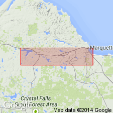
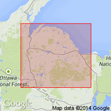
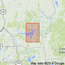
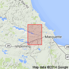
Named from extensive exposures on islands of Michigamme Lake and on mainland adjacent to shore in western Marquette Co., Marquette district, Northern Peninsula, northwestern MI (Lake Superior region). [According to GNU records (USGS DDS-6; Reston GNULEX) = type locality.]
Source: US geologic names lexicon (USGS Bull. 896, p. 1360); supplemental information from GNU records (USGS DDS-6; Reston GNULEX).
- Usage in publication:
-
- Michigamme slate*
- Modifications:
-
- Revised
- AAPG geologic province:
-
- Wisconsin arch
Summary:
Showed Michigamme slate as overlying Clarksburg volcanics in Marquette district and overlying Quinnesec greenstone in Menominee district; called the included iron-formation the Bijiki iron-formation member in Marquette district and Iron River iron-formation member in Iron River, Florence, and Crystal Falls districts; transferred Vulcan iron-formation to middle Huronian; and placed Goodrich quartzite as older than Greenwood iron-formation, which underlies Clarksburg volcanics, according to present interpretation. Age is pre-Cambrian (upper Huronian).
Source: US geologic names lexicon (USGS Bull. 896, p. 1360).
- Usage in publication:
-
- Michigamme slate
- Modifications:
-
- Overview
- AAPG geologic province:
-
- Wisconsin arch
Summary:
Pg. 12 (chart). Michigamme slate (or series) underlies Sibley formation.
Source: US geologic names lexicon (USGS Bull. 1200, p. 2485-2486).
- Usage in publication:
-
- Michigamme slate*
- Modifications:
-
- Overview
- AAPG geologic province:
-
- Lake Superior region
Summary:
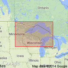
Pg. 14 (table 2), 59, pl. 1. Michigamme slate. Described in Kiernan quadrangle, eastern Iron County, Michigan (Lake Superior region). Is mainly a pelitic rock that originally consisted largely of argillaceous and graywacke-like materials; has been metamorphosed in varying degrees to form slates, mica and garnet schists, and impure quartzites. In places, in western part of Marquette Range, it contains metavolcanic members, particularly at the base of the formation. Thickness about 10,000 feet. Inferred to underlie much of belt of glacial deposits in eastern third of quadrangle. Unconformably overlies Fence River formation (new), or Hemlock formation where Fence River is absent. Authors note the Hemlock-Fence River-Michigamme sequence in study area is similar to the Clarksburg-Bijiki-Michigamme sequence of the western part of the Marquette Range, but specific correlation of the two sequences cannot be made based on available information. Age is considered late middle Precambrian.
Source: US geologic names lexicon (USGS Bull. 1200, p. 2485-2486); supplemental information from GNU records (USGS DDS-6; Reston GNULEX).
- Usage in publication:
-
- Michigamme slate*
- Modifications:
-
- Revised
- Areal extent
- AAPG geologic province:
-
- Lake Superior region
Summary:
Pg. 30 (table 1), 36, 37. Michigamme slate of Baraga group (new) of Animikie series. Assigned to newly defined Baraga group. In Marquette district, Michigan, includes in the lower part Bijiki iron-formation member, Clarksburg volcanics member, and Greenwood iron-formation member; in Iron and Dickinson Counties, northwestern Michigan (Lake Superior region), overlies Fence River formation and underlies Badwater greenstone (new), both of Baraga group. Is most extensive formation of Animikie series; thickness as much as 5,000 feet, but locally may be much less, or entirely absent. In the Iron River-Crystal Falls district, the productive iron-formation strata previously considered part of Michigamme are now assigned to Paint River group (new). Age is middle Precambrian (Animikie Series). Report includes stratigraphic sequence chart.
Source: US geologic names lexicon (USGS Bull. 1200, p. 2485-2486); supplemental information from GNU records (USGS DDS-6; Reston GNULEX).
- Usage in publication:
-
- Michigamme Slate
- Modifications:
-
- Revised
- AAPG geologic province:
-
- Lake Superior region
Summary:
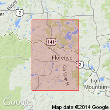
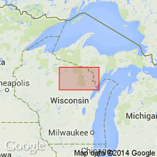
Is revised in that two new informal units, the Pine River quartzite conglomerate member and the Keyes Lake quartzite member, are "informally designated members of the Michigamme Slate, a formation in the Baraga Group of the Middle Precambrian Animikie Series of northern Michigan." The new units crop out south and west of Florence, Florence Co, WI (Lake Superior region) in the vicinity of Pine River Reservoir and Keyes Lake, respectively, and are apparently anomalous local quartz-rich bodies within thick sequence of typically "eugeosynclinal" chloritic slates, graywackes, and basic volcanic rocks. "The Pine River member consists of a lower meta-conglomerate, middle cross-stratified quartzite and pebbly quartzite, and upper meta-conglomerate, each of which thins to the northwest from a maximum total thickness of 600 feet to 150 feet in a distance of 3 miles." "The Keyes Lake member consists of parallel-stratified quartzite, profusely cross-stratified quartzites, and finer quartzose slates that can be traced parallel to strike for different distances." Paleocurrent flow for both members is toward the southeast; both are thought to have been deposited in a shallow marine environment and derived from somewhat similar source rocks, but they cannot be correlated on a stratigraphic basis.
Source: GNU records (USGS DDS-6; Denver GNULEX).
- Usage in publication:
-
- Michigamme Slate*
- Modifications:
-
- Overview
- AAPG geologic province:
-
- Lake Superior region
Summary:
Pg. 2845 (fig. 2, stratigraphic chart compiled from Leith and others, 1935; James, 1958; Gair and Thaden, 1968). Michigamme Slate of Baraga Group of Marquette Range Supergroup (new; replaces †Animikie series of James, 1958, south of Lake Superior, in Michigan and Wisconsin). Present in Marquette Range, Iron River-Crystal Falls district, and Menominee Range, northwestern Michigan. Subdivided in Marquette Range; includes (ascending) Greenwood Iron-Formation, Clarksburg Volcanics, and Bijiki Iron-Formation Members. In Marquette Range, overlies Goodrich Quartzite. In Iron River-Crystal Falls district, overlies Amasa Formation and underlies Badwater Greenstone. In Menominee Range, unconformably overlies Vulcan Iron-Formation of Menominee Group and underlies Badwater Greenstone. Age is middle Precambrian.
Source: Publication.
- Usage in publication:
-
- Michigamme Formation*
- Modifications:
-
- Overview
- AAPG geologic province:
-
- Lake Superior region
Summary:
Lower part of the formation is mapped as six map units in Marquette Co, Northern Peninsula of Michigan (Lake Superior region). Is formation in Baraga Group of Marquette Range Supergroup. Is very thick graywacke-slate (or schist) sequence with lesser volcanic rocks and iron-formation. Only lowest part of formation present in quadrangle. Mapped units (descending) as follows: Lower slate member --black, carbonaceous, pyritic slate with lesser amounts of siltstone; Lower graywacke member --interbedded graywacke, quartzite, conglomerate, and slate; Clarksburg Volcanics Member --mafic pyroclastic rocks with subordinate mafic flow rocks, argillaceous sedimentary rocks, and iron formation; Iron-formation --lenticular bodies of banded iron-rich metasedimentary rock similar to Greenwood Iron-formation Member; Greenwood Iron-formation Member --gray-green to buff, laminated, silicate-magnetite iron-formation with beds of argillaceous clastic rocks; Lower argillite member --very poorly exposed unit of laminated argillite, was previously considered part of Goodrich Quartzite but here considered a local member of Michigamme Formation because it is indistinguishable from argillite higher in the Michigamme. Precambrian X.
Source: GNU records (USGS DDS-6; Reston GNULEX).
- Usage in publication:
-
- Michigamme Slate*
- Modifications:
-
- Overview
- Dominant lithology:
-
- Slate
- Graywacke
- Conglomerate
- Iron-formation
- Quartzite
- Argillite
- AAPG geologic province:
-
- Lake Superior region
Summary:
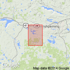
Is uppermost middle Precambrian formation mapped in Negaunee quadrangle, Marquette Co, MI (Lake Superior region). Comprises four map units representing the Baraga Group at top of Marquette Range Supergroup. Crops out north and west of Dead River pluton (possibly late early Precambrian) and south of sheared rhyolite tuff member of Mona Schist (early Precambrian) in Dead River and McClure Storage Basins. Forms simple homoclinal sequence of beds dipping moderately to steeply north, but is locally folded. Main body described as thin-bedded graywacke with local carbon-rich beds, and sericitic, chloritic, carbonaceous, and pyritic metasiltite and slate; unconformable against Dead River pluton and Nealy Creek Member of Mona Schist; thin magnetite argillite unit causes magnetic anomaly in lower part; formation greater than 5,000 ft thick. Other map units described as 1) conglomerate composed of angular chert clasts in coarse-grained graywacke matrix, 2) chert-goethite-hematite iron-formation, and 3) conglomeratic, sericitic, and arkosic quartzite at base of formation.
Source: GNU records (USGS DDS-6; Reston GNULEX).
- Usage in publication:
-
- Michigamme Formation*
- Modifications:
-
- Areal extent
- AAPG geologic province:
-
- Lake Superior region
Summary:
Pg. A4-A5 (fig. 2), A7 (fig. 3), A8 (tbl. 1), A22, A24. Michigamme Formation of Baraga Group of Marquette Range Supergroup. Metagraywacke and slate. Exposed in eastern outcrop of Marenisco-Watersmeet area, Northern Peninsula, Michigan. Overlies Blair Creek Formation (new) of Marquette Range Supergroup. Correlative with Copps Formation of Baraga Group of Marquette Range Supergroup, exposed in western outcrop. Rocks previously included in "strata near Paulding" by Fritts, 1969 (USGS Misc. Geol. Inv. Map I-576, scale 1:48,000). Age is Early Proterozoic (2,500 to 1,600 Ma).
Source: Publication.
- Usage in publication:
-
- Michigamme Formation*
- Modifications:
-
- Revised
- AAPG geologic province:
-
- Lake Superior region
Summary:
Revised to form the basal unit of Baraga Group (revised) of Marquette Range Supergroup, which unconformably overlies Amasa and Fence River Formations of Menominee Group (revised) in Iron River-Crystal Falls area, northwest MI in the Lake Superior region. Boundary with underlying Goodrich Quartzite of Baraga Group remains unchanged in western Marquette Range area. Is mapped as heterogeneous sequence of five mappable lithotypes of metamorphosed sedimentary and lesser volcanic rocks. Is Early Proterozoic in age.
Source: GNU records (USGS DDS-6; Reston GNULEX).
- Usage in publication:
-
- Michigamme Formation*
- Modifications:
-
- Geochronologic dating
- AAPG geologic province:
-
- Lake Superior region
Summary:
Pg. 4, geologic time scale (inside front cover). Michigamme Formation of Baraga Group of Marquette Range Supergroup. Sample from a phosphorite pebble conglomerate, which may represent shallow water reworking of carbonate-apatite beds lower in the section, forms basal phosphatic zone in Michigamme Formation. Collected from Forsythe property, Abbaye Peninsula, Lat. 46 deg. 49 min. 35 sec. N., Long. 88 deg. 18 min. 55 sec. W., in SW/4 sec. 12, T. 51 N., R. 32 W., [Aura 7.5-min quadrangle], Baraga County, Michigan. U-Pb ages are significantly discordant and probably reflect secondary uranium and/or lead mobility at some time after sedimentation. Apparently, the heterogeneous distribution of uranium in this conglomerate was conducive to chemical migration whereas the uniform distribution of uranium in the carbonate-apatite bed near base of Baraga Group, beneath the Michigamme Formation, encountered no net movement of uranium and lead. Whole-rock (pebble) U-Pb ages: 1,762 +/-16 Ma, 1,620 +/-10 Ma, and 1,516 +/-8 Ma. Ages calculated using decay constants of Steiger and Jager, 1977 (Earth Planet. Sci. Letters, v. 36, p. 359-362). [Early to Middle Proterozoic (Precambrian Y); Early-Middle Proterozoic boundary 1600 Ma]
Source: Publication.
- Usage in publication:
-
- Michigamme Formation*
- Modifications:
-
- Revised
- AAPG geologic province:
-
- Lake Superior region
Summary:
Michigamme Formation of Baraga Group. In Florence area, Wisconsin, stratigraphic position of Badwater Greenstone of Baraga Group is reinterpreted. Is part of upper plate of thrust fault (Badwater thrust) placing unit tectonically, rather than stratigraphically, above Michigamme. Thus, Michigamme is actually younger than Badwater, and may in part be equivalent to Paint River Group. Age is Early Proterozoic.
Source: Modified from GNU records (USGS DDS-6; Reston GNULEX).
For more information, please contact Nancy Stamm, Geologic Names Committee Secretary.
Asterisk (*) indicates published by U.S. Geological Survey authors.
"No current usage" (†) implies that a name has been abandoned or has fallen into disuse. Former usage and, if known, replacement name given in parentheses ( ).
Slash (/) indicates name conflicts with nomenclatural guidelines (CSN, 1933; ACSN, 1961, 1970; NACSN, 1983, 2005, 2021). May be explained within brackets ([ ]).