

- Usage in publication:
-
- Meeke Mine Formation*
- Modifications:
-
- Named
- Dominant lithology:
-
- Gravel
- Clay
- Shale
- AAPG geologic province:
-
- Mojave basin
Summary:
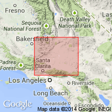
Named for Meeke tin mine. Type section designated as exposures from contact with Oso Canyon Formation, 2.5 mi north of west end of Quail Lake, northeast 1 mi to Kern-Los Angeles Co boundary [La Liebre Ranch 7.5' quad, Los Angeles and Kern Cos, CA]. Exposed discontinuously in southeastern foothills of Tehachapi Mountains from Oso Canyon northeastward 8 mi to Antelope Canyon. Consists of two units of gravel separated by one of clay and clay shale. Is about 1500 ft thick at type. Unconformably overlies Oso Canyon Formation (new); unconformably underlies Pleistocene alluvium. Great angular discordance with underlying upper Miocene formations suggest age is Pliocene or younger, most probably late Pliocene, possibly early Pleistocene(?).
Source: GNU records (USGS DDS-6; Menlo GNULEX).
For more information, please contact Nancy Stamm, Geologic Names Committee Secretary.
Asterisk (*) indicates published by U.S. Geological Survey authors.
"No current usage" (†) implies that a name has been abandoned or has fallen into disuse. Former usage and, if known, replacement name given in parentheses ( ).
Slash (/) indicates name conflicts with nomenclatural guidelines (CSN, 1933; ACSN, 1961, 1970; NACSN, 1983, 2005, 2021). May be explained within brackets ([ ]).