

- Usage in publication:
-
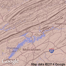
- Mascot dolomite*
- Modifications:
-
- First used
- AAPG geologic province:
-
- Appalachian basin
Summary:
Name Mascot dolomite appears on map legend. Occurs above Kingsport limestone.
Source: GNU records (USGS DDS-6; Reston GNULEX).
- Usage in publication:
-
- Mascot dolomite
- Modifications:
-
- Named
- Dominant lithology:
-
- Dolomite
- Limestone
- Chert
- AAPG geologic province:
-
- Appalachian basin
Summary:
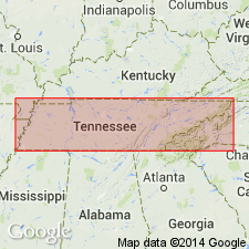
Named the Mascot dolomite for Mascot, Knox Co., northeastern TN. Consists of light and dark gray dolomite and limestone. Moderately cherty and the base is marked by chert matrix sandstone. Limestone is most abundant in Jefferson City area. Thickness is 500 to 700 feet. Overlies the Kingsport formation. The Mascot is of Early Ordovician age.
Source: GNU records (USGS DDS-6; Reston GNULEX).
- Usage in publication:
-
- Mascot dolomite*
- Modifications:
-
- Areal extent
- AAPG geologic province:
-
- Appalachian basin
Summary:
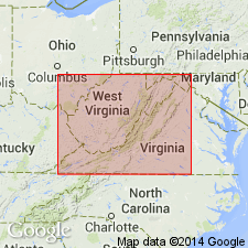
Geographically extended the Mascot dolomite of the Knox group into southwestern VA. Consists predominantly of light colored to nearly white dolomite. Thickness is 169 to 462 feet. Disconformably overlies the Kingsport dolomite and unconformably underlies the Mascot and Dot formations.
Source: GNU records (USGS DDS-6; Reston GNULEX).
- Usage in publication:
-
- Mascot Dolomite Member
- Modifications:
-
- Revised
- AAPG geologic province:
-
- Appalachian basin
Summary:
Reduced the rank of the Mascot to the Mascot Dolomite Member of the Beekmantown Formation. Revision shows up on figure 3 for the southern Appalachian region but is not discussed in text. Unit overlies the Kingsport Dolomite Member and underlies the New Market Formation.
Source: GNU records (USGS DDS-6; Reston GNULEX).
- Usage in publication:
-
- Mascot Dolomite*
- Modifications:
-
- Biostratigraphic dating
- AAPG geologic province:
-
- Appalachian basin
Summary:
The uppermost unit of the Sylacauga Marble Group (Tull, 1982), the Gantts Quarry Formation of Tull (1985), contains Early Ordovician conodonts that confirm correlation with the Newala Limestone, Kingsport Formation, and Mascot Dolomite of the Appalachian foreland.
Source: GNU records (USGS DDS-6; Reston GNULEX).
For more information, please contact Nancy Stamm, Geologic Names Committee Secretary.
Asterisk (*) indicates published by U.S. Geological Survey authors.
"No current usage" (†) implies that a name has been abandoned or has fallen into disuse. Former usage and, if known, replacement name given in parentheses ( ).
Slash (/) indicates name conflicts with nomenclatural guidelines (CSN, 1933; ACSN, 1961, 1970; NACSN, 1983, 2005, 2021). May be explained within brackets ([ ]).