

- Usage in publication:
-
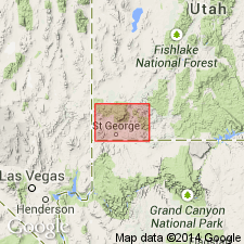
- Maple Ridge porphyry
- Modifications:
-
- First used
- Dominant lithology:
-
- Andesite
- AAPG geologic province:
-
- Great Basin province
Summary:
First published use of a local, named map unit (geologic map) attributed to Blank (1959), an unpublished thesis. Locality of Maple Ridge is in T38S, R18W, Washington Co., UT in the Great Basin province. The porphyry mapped in a small area on the ridge. Location of a type locality not stated. Is a flow unit of dark biotite-augite andesite(?). Has a maximum thickness of 300 ft. In contact with the Cove Mountain formation (first used) on north side of ridge and with Quichapa formation on south side of ridge. Stratigraphic table. Tertiary age.
Source: GNU records (USGS DDS-6; Denver GNULEX).
For more information, please contact Nancy Stamm, Geologic Names Committee Secretary.
Asterisk (*) indicates published by U.S. Geological Survey authors.
"No current usage" (†) implies that a name has been abandoned or has fallen into disuse. Former usage and, if known, replacement name given in parentheses ( ).
Slash (/) indicates name conflicts with nomenclatural guidelines (CSN, 1933; ACSN, 1961, 1970; NACSN, 1983, 2005, 2021). May be explained within brackets ([ ]).