

- Usage in publication:
-
- Maguayo Porphyry*
- Modifications:
-
- Named
- Dominant lithology:
-
- Porphyry
Summary:
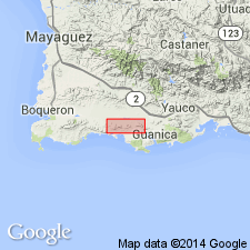
The Maguayo Porphyry of the Bermeja Complex, here named, consists of tan or light-gray, microcrystalline aplitic matrix with feldspar and hornblende phenocrysts. Occurs in dikes and sill cutting the Cajul Volcanic Rocks and Mariquita Chert, and in fensters and valleys cut through the Bermeja nappe.
Source: GNU records (USGS DDS-6; Reston GNULEX).
- Usage in publication:
-
- Maguayo Porphyry*
- Modifications:
-
- Overview
Summary:
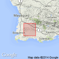
The Maguayo Porphyry of Mattson (1973) is here adopted for USGS usage. Intrudes the Mariquita Chert of Tithonian to Aptian age; therefore its age is Early Cretaceous or younger.
Source: GNU records (USGS DDS-6; Reston GNULEX).
For more information, please contact Nancy Stamm, Geologic Names Committee Secretary.
Asterisk (*) indicates published by U.S. Geological Survey authors.
"No current usage" (†) implies that a name has been abandoned or has fallen into disuse. Former usage and, if known, replacement name given in parentheses ( ).
Slash (/) indicates name conflicts with nomenclatural guidelines (CSN, 1933; ACSN, 1961, 1970; NACSN, 1983, 2005, 2021). May be explained within brackets ([ ]).