

- Usage in publication:
-
- Madisonville limestone
- Modifications:
-
- Named
- Dominant lithology:
-
- Limestone
- AAPG geologic province:
-
- Illinois basin
Summary:
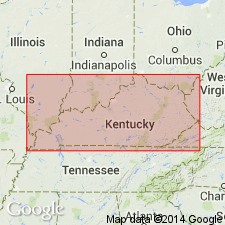
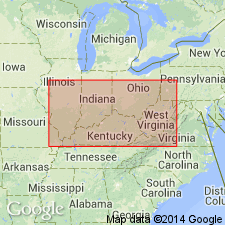
Name Madisonville limestone applied to massive fossiliferous limestone, 4 ft thick, exposed at spring at Madisonville. Unit is usually drab and dove-colored, but some parts blue. Overlain by shale and underlain by 1 ft of nodular limestone succeeded below by shales and interbedded nodular and other limestones. Lies about 80 ft above coals A and B. Later report in Kentucky Geological Survey Bulletin 19, p. 13, states that this limestone lies almost midway between coals Nos. 14 and 15 or about 300 ft above coal No. 9. [Heading in Wilmarth (1938, US geologic names lexicon, USGS Bull. 896) shows Madisonville assigned to McLeansboro formation, but write-up does not support this allocation.]
Source: GNU records (USGS DDS-6; Reston GNULEX).
- Usage in publication:
-
- Madisonville limestone* member*
- Modifications:
-
- Revised
- AAPG geologic province:
-
- Illinois basin
Summary:
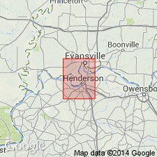
Madisonville here reallocated to member status in the Lisman formation. In Henderson area is youngest member of formation and overlies Anvil Rock sandstone member.
Source: GNU records (USGS DDS-6; Reston GNULEX).
- Usage in publication:
-
- Madisonville Limestone Member*
- Modifications:
-
- Age modified
- AAPG geologic province:
-
- Illinois basin
Summary:
Age of Lisman Formation and its Providence and Madisonville Limestone Members is Late Pennsylvanian. Anvil Rock Sandstone Member not used in report area.
Source: GNU records (USGS DDS-6; Reston GNULEX).
- Usage in publication:
-
- Madisonville Limestone Member
- Modifications:
-
- Revised
- AAPG geologic province:
-
- Illinois basin
Summary:
Former members of Lisman Formation (now abandoned) are reassigned to lower part of Sturgis Formation (new). Members are (ascending) Providence Limestone, Anvil Rock Sandstone, Madisonville Limestone, and Carthage Limestone. Sturgis overlies Carbondale Formation.
Source: GNU records (USGS DDS-6; Reston GNULEX).
- Usage in publication:
-
- Madisonville Limestone Member
- Modifications:
-
- Age modified
- AAPG geologic province:
-
- Illinois basin
Summary:
Age of unit changed to Middle Pennsylvanian (Desmoinesian) based on fusulinids.
Source: GNU records (USGS DDS-6; Reston GNULEX).
For more information, please contact Nancy Stamm, Geologic Names Committee Secretary.
Asterisk (*) indicates published by U.S. Geological Survey authors.
"No current usage" (†) implies that a name has been abandoned or has fallen into disuse. Former usage and, if known, replacement name given in parentheses ( ).
Slash (/) indicates name conflicts with nomenclatural guidelines (CSN, 1933; ACSN, 1961, 1970; NACSN, 1983, 2005, 2021). May be explained within brackets ([ ]).