

- Usage in publication:
-
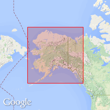
- Lost Jim lava flow
- Modifications:
-
- First used
- Dominant lithology:
-
- Basalt
- AAPG geologic province:
-
- Alaska West-Central region
Summary:
Consists of pahoehoe flow of olivine basalt surrounding Imuruk Lake, Seward Peninsula, Alaska. Extends 17.5 miles west from source cone, covering more than 60 square miles; ranges from 10 to 150 feet thick. Age is Quaternary.
Source: GNU records (USGS DDS-6; Menlo GNULEX).
- Usage in publication:
-
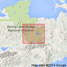
- Lost Jim lava flow*
- Modifications:
-
- Named
- Dominant lithology:
-
- Basalt
- AAPG geologic province:
-
- Alaska West-Central region
Summary:
Type locality: Lost Jim Cone near Imuruk Lake, Seward Peninsula, Alaska. Named for Lost Jim Cone. Youngest flow in Imuruk Lake area; overlies all older volcanic formations. Extends 25 miles west of source cone, covering 88 sq. mi mostly between Lost Jim Cone and Lava Lake; tongues extend into Andesite Creek tributaries of Kuzitrin river, and to south shore of Imuruk Lake with large lava delta. Thickness ranges from 10 to 150 ft, averaging greater than 50 ft. Consists of large pahoehoe lava flow, local relief ranges from 10 to 60 ft. Erupted in 2 phases. Surface undisturbed by frost action. Age is Holocene -at least several hundred and possibly several thousand years old (younger than last major glacial interval on Seward Peninsula).
Source: GNU records (USGS DDS-6; Menlo GNULEX).
- Usage in publication:
-
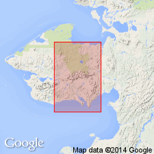
- Lost Jim Basalt*
- Modifications:
-
- Revised
- AAPG geologic province:
-
- Alaska West-Central region
Summary:
Name changed from Lost Jim Lava Flow to Lost Jim Basalt in accordance with 1983 North American Stratigraphic Code which states that "flow" is not of formational rank.
Source: GNU records (USGS DDS-6; Menlo GNULEX).
For more information, please contact Nancy Stamm, Geologic Names Committee Secretary.
Asterisk (*) indicates published by U.S. Geological Survey authors.
"No current usage" (†) implies that a name has been abandoned or has fallen into disuse. Former usage and, if known, replacement name given in parentheses ( ).
Slash (/) indicates name conflicts with nomenclatural guidelines (CSN, 1933; ACSN, 1961, 1970; NACSN, 1983, 2005, 2021). May be explained within brackets ([ ]).