

- Usage in publication:
-
- Lodore group*
- [Lodore formation*]
- Modifications:
-
- Original reference
- Dominant lithology:
-
- Sandstone
- Shale
- AAPG geologic province:
-
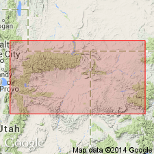
- Green River basin
Summary:
Pg. 41, 56, 58, 144-147. Lodore group. A group of soft sandstones and arenaceous shales, with conglomerates at base, 465 feet thick, conformably underlying Redwall group of limestones in Lodore and Whirlpool Canyons, where Green River cuts through eastern part of Uinta Mountains, and unconformably overlying Uinta sandstone. Believed to be same as Tonto group [Middle Cambrian] of Grand Canyon, but assigned to Carboniferous.
Named tor Lodore Canyon [Moffat Co., northwestern CO].
Source: US geologic names lexicon (USGS Bull. 896, p. 1206).
- Usage in publication:
-
- Lodore shales
- Modifications:
-
- Redescribed
- Dominant lithology:
-
- Shale
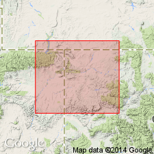
- AAPG geologic province:
-
- Uinta basin
- Uinta uplift
Summary:
Name "Lodore shales" rather than "Lodore group" as applied by Powell (1876) used for the 500 to 1,200 ft thick shale unit above the Precambrian and beneath the Ogden quartzite. The shales are argillaceous and sandy, green, red, purple. Some beds are laminated. Many nodules. Fine to coarse sandy beds noted in exposures on Kamas Creek, Provo river, and Duchesne canyon in vicinity of Duchesne Co, UT in the Uinta basin. Mapped (geologic map) as a thin band west of Flaming Gorge west to the Weber River on north side of Uinta Mountains on the Uinta uplift, in Ashley to Brush Creek areas and near the Green River, and from Rock Creek to West fork of the Duchesne River on the south side of the Uinta Mountains in the Uinta basin. Thins eastward. Cambrian age.
Source: GNU records (USGS DDS-6; Denver GNULEX).
- Usage in publication:
-
- Lodore formation
- Modifications:
-
- Areal extent
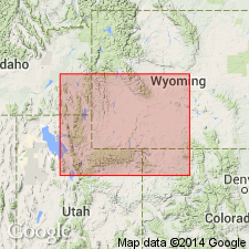
- AAPG geologic province:
-
- Green River basin
Summary:
Areally extends Lodore formation into Rawlins Hills, near Rawlins, Carbon County, Wyoming, Greater Green River basin. The 350 feet-thick section at Rawlins Hills has been referred to as "Flathead-Deadwood," however, neither term is appropriate based on lithology or paleontology. Author feels exact equivalent of this section is Lodore formation of northwestern Colorado. Lodore should be carried across state line into south-central Wyoming and be used for all thin wedge-edge sandstones of Late Cambrian age. Report includes cross sections.
Source: Modified from GNU records (USGS DDS-6; Denver GNULEX).
- Usage in publication:
-
- Lodore Formation
- Modifications:
-
- Overview
- Geochronologic dating
- AAPG geologic province:
-
- Uinta basin
- Green River basin
Summary:
Cambrian Lodore Formation a transgressive, thin sandstone deposited in a shallow marine trough, which crops out along Uinta basin in northeastern UT and northwestern CO in the Greater Green River basin. Has rare trilobites and brachiopods of late Middle to early Late Cambrian aspect. It was deposited in a marine trough but was never deeply buried. Ichnofossils found are long-ranging and common in Cambrian. K-Ar age of 428 +/-14 m.y. on lower part and 387 +/-35 m.y. on upper part determined on glauconite. Maximum age of 535 +/-14 m.y. Argon loss in glauconite based on depth of burial; no substantial loss of argon in Lodore suggests thin cover.
Source: GNU records (USGS DDS-6; Denver GNULEX).
For more information, please contact Nancy Stamm, Geologic Names Committee Secretary.
Asterisk (*) indicates published by U.S. Geological Survey authors.
"No current usage" (†) implies that a name has been abandoned or has fallen into disuse. Former usage and, if known, replacement name given in parentheses ( ).
Slash (/) indicates name conflicts with nomenclatural guidelines (CSN, 1933; ACSN, 1961, 1970; NACSN, 1983, 2005, 2021). May be explained within brackets ([ ]).