

- Usage in publication:
-
- Lobster Lake formation*
- Modifications:
-
- Overview
- Biostratigraphic dating
- Dominant lithology:
-
- Siltstone
- Sandstone
- Slate
- Limestone
- Conglomerate
- AAPG geologic province:
-
- New England province
Summary:
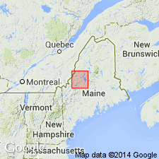
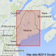
Occurs in area adjacent to northwest shore of Lobster Lake. Consists of blue-gray, buff-weathering, calcareous siltstone and calcareous pelmatozoan-columnal-bearing sandstone; siltstone composed of dark, fine-grained silt; calcareous slate composed of fine-grained blue-gray clay; irregular limestone pebble conglomerate; and blue-gray, gray-weathering, massive limestone that contains stromatoporoid debris. Includes basal Big Claw red-bed member consisting of red quartzite, sandstone, shale, and conglomerate, and gray sandstone. Thickness is up to 4,000 feet but is beveled by erosion. Lower contact of main body with Big Claw red-bed member not observed; beds on either side of contact are parallel. Age is Silurian(?) and Silurian; main body contains Silurian tetracoral TRYPLASMA and HALYSITES. Report includes geologic map and correlation chart.
Source: GNU records (USGS DDS-6; Reston GNULEX).
- Usage in publication:
-
- Lobster Lake Formation
- Modifications:
-
- Age modified
- AAPG geologic province:
-
- New England province
Summary:
Age of Lobster Lake Formation changed from Silurian(?) and Silurian to Late Silurian (Ludlow).
Source: GNU records (USGS DDS-6; Reston GNULEX).
For more information, please contact Nancy Stamm, Geologic Names Committee Secretary.
Asterisk (*) indicates published by U.S. Geological Survey authors.
"No current usage" (†) implies that a name has been abandoned or has fallen into disuse. Former usage and, if known, replacement name given in parentheses ( ).
Slash (/) indicates name conflicts with nomenclatural guidelines (CSN, 1933; ACSN, 1961, 1970; NACSN, 1983, 2005, 2021). May be explained within brackets ([ ]).