- Usage in publication:
-
- Llewellyn Formation*
- Modifications:
-
- Named
- Dominant lithology:
-
- Sandstone
- Siltstone
- Conglomerate
- Shale
- Coal
- AAPG geologic province:
-
- Appalachian basin
Summary:
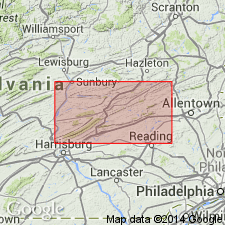
Named the Llewellyn Formation for Llewellyn, Schuylkill Co., eastern PA. Consists of gray- and brown-hued beds of conglomeratic sandstone, quartzose sandstone, subgraywacke, and siltstone with lesser amounts of conglomerate, shale, and anthracite. Maximum thickness is 3500 feet. Base of unit is placed below the shale bed that underlies the Buck Mountain coal bed. Overlies the Pottsville. The Llewellyn is of Late Pennsylvanian age.
Source: GNU records (USGS DDS-6; Reston GNULEX).

- Usage in publication:
-
- Llewellyn Formation*
- Modifications:
-
- Age modified
- AAPG geologic province:
-
- Appalachian basin
Summary:
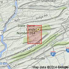
The age of the Llewellyn Formation is shown on geologic map as Middle and Late Pennsylvanian.
Source: GNU records (USGS DDS-6; Reston GNULEX).
For more information, please contact Nancy Stamm, Geologic Names Committee Secretary.
Asterisk (*) indicates published by U.S. Geological Survey authors.
"No current usage" (†) implies that a name has been abandoned or has fallen into disuse. Former usage and, if known, replacement name given in parentheses ( ).
Slash (/) indicates name conflicts with nomenclatural guidelines (CSN, 1933; ACSN, 1961, 1970; NACSN, 1983, 2005, 2021). May be explained within brackets ([ ]).

