

- Usage in publication:
-
- Lewiston Member
- Modifications:
-
- Named
- Dominant lithology:
-
- Mudstone
- Limestone
- Shale
- AAPG geologic province:
-
- Appalachian basin
Summary:
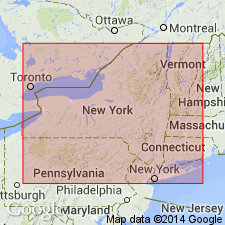
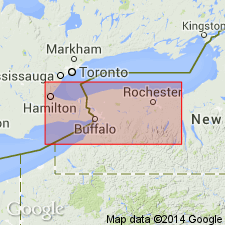
The Lewiston Member of the Rochester Shale, here named, is the lower unit of the Rochester in the area from Hamilton, Ontario, Canada, to Brockport, NY. The unit corresponds to Grabau's (1901) lower shales and Ringueberg's (1888) lower and middle third subdivisions. It consists of gray, brownish weathering, fossiliferous, shaly mudstone with thin interbedded lenses of biomicrite and burrowed micrites. It is subdivided into unit A: basal transition zone of brachiopod-crinoid-rich biomicrite lenses in shale, 1 m; unit B: gray mudstone with bryozoan clusters, 1-3 m; unit C: sparsely fossiliferous shale and calcisiltites, variable thickness; unit D: fossiliferous mudstone and bryozoan-rich limestone, 2 m; unit E: upper bryozoan-rich biomicrites and minor shale, corresponding to the "Bryozoa beds" of Grabau (1901), 1.5 m. Gradationally or sharply overlies the Irondequoit Limestone; sharply underlies the Burleigh Hill Member of the Rochester or, west of Grimsby, Ontario, the Stoney Creek Member of the Rochester. Thickness at type locality is 8.6 m (28.6 ft). Age is Middle Silurian (Wenlockian).
Source: GNU records (USGS DDS-6; Reston GNULEX).
- Usage in publication:
-
- Lewiston Member*
- Modifications:
-
- Overview
- AAPG geologic province:
-
- Appalachian basin
Summary:
The Lewiston Member of the Rochester Shale in western NY consists of medium- to dark-gray, calcareous mudstone with interbedded fossiliferous lenses and beds. Fossiliferous wackestones and packstones are particularly abundant in the lowermost and uppermost parts of the unit. Unit is divided into 5 informal units (A-E) as described by Brett (1983). Thickness is 26 to 55 ft. Conformably overlies the Irondequoit Limestone and underlies the Burleigh Hill Member of the Rochester. The upper contact is placed at the top of the uppermost thick grainstone-packstone bed. The Lewiston is of Early Silurian (early and middle Wenlockian) age. [Report uses Early-Late Silurian boundary of Harland and others (1982) between the Wenlockian and the Ludlovian.]
Source: GNU records (USGS DDS-6; Reston GNULEX).
For more information, please contact Nancy Stamm, Geologic Names Committee Secretary.
Asterisk (*) indicates published by U.S. Geological Survey authors.
"No current usage" (†) implies that a name has been abandoned or has fallen into disuse. Former usage and, if known, replacement name given in parentheses ( ).
Slash (/) indicates name conflicts with nomenclatural guidelines (CSN, 1933; ACSN, 1961, 1970; NACSN, 1983, 2005, 2021). May be explained within brackets ([ ]).