

- Usage in publication:
-
- Lebo andesitic member*
- Modifications:
-
- Original reference
- Dominant lithology:
-
- Shale
- Sandstone
- AAPG geologic province:
-
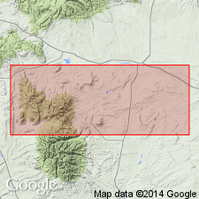
- Central Montana uplift
Summary:
Pg. 746. Lebo andesitic member of Fort Union formation. Basal member of Fort Union formation northeast of Crazy Mountains. Thickness 450 to 2,200 feet. Overlain by massive sandstones, and intercalated shales composing upper part of Fort Union formation, and underlain by Lance formation (1,000 to 2,400 feet of light-gray sandstone and variegated shale). Age is Tertiary (Eocene).
Named from exposures on Lebo Creek, northeast of Crazy Mountains, in T. 6 N., R. 13 E., Wheatland Co., MT.
[GNC remark (ca. 1938, US geologic names lexicon, USGS Bull. 896, p. 1162): To east (in Bull Mountain coal field and elsewhere) the Lebo strata become so shaly that they are called Lebo shale member. See also M.G. Wilmarth, 1938, Geologic Names Committee remark (USGS Bull. 896, p. 762) under Fort Union.]
Source: US geologic names lexicon (USGS Bull. 896, p. 762, 1162).
- Usage in publication:
-
- Lebo Member*
- Modifications:
-
- Overview
- AAPG geologic province:
-
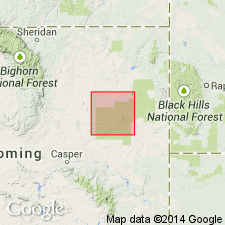
- Powder River basin
Summary:
Is uppermost member of Fort Union Formation (Paleocene) in the Reno Junction-Antelope Creek area--Campbell, Converse, Niobrara, and Weston Cos, WY in the southern part of the Powder River basin. Overlies Tullock Member of Fort Union. Underlies Wasatch Formation with unconformable contact. Lebo Member of study area is said to be equivalent to the Lebo and overlying Tongue River Members of Fort Union in the northern part of Powder River basin. Lebo, thus defined, contains all the Fort Union coal beds down to and including the Cache coal bed, and all but a few thin coals that occur below the Cache. Geologic map; fence diagram with coal correlations. Age is Paleocene.
Source: GNU records (USGS DDS-6; Denver GNULEX).
- Usage in publication:
-
- Lebo Member*
- Modifications:
-
- Redescribed
- Areal extent
- Dominant lithology:
-
- Shale
- Sandstone
- AAPG geologic province:
-
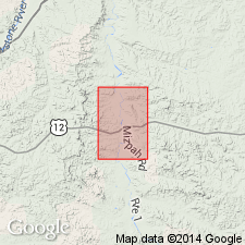
- Williston basin
Summary:
Is middle member of Fort Union Formation. Rank term changed from shale member to member for much of Custer Co, MT in the Williston basin where unit commonly contains less than 70 percent shale and claystone. Redescription restricted to an area encompassed by the Miles City 1/2 x 1 degree quad. Conformably underlies Tongue River Member and overlies Tullock Member. Is assigned to the Paleocene Epoch.
Source: GNU records (USGS DDS-6; Denver GNULEX).
- Usage in publication:
-
- Lebo Member*
- Modifications:
-
- Areal extent
- AAPG geologic province:
-
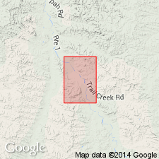
- Williston basin
Summary:
Is middle member of the Fort Union Formation in eastern Custer Co, MT in Williston basin. Is mapped only in northern part of quadrangle and in small area west of divide that separates Powder River from Mizpah Creek. Beyond arbitrary cutoff, is laterally equivalent to upper part of Ludlow Member of the Fort Union Formation where the Lebo and underlying Tullock Member cannot be separately mapped. Gradational contact with underlying Tullock Member and with overlying Tongue River Member of the Fort Union Formation. Is assigned to the Paleocene Epoch.
Source: GNU records (USGS DDS-6; Denver GNULEX).
- Usage in publication:
-
- Lebo Member*
- Modifications:
-
- Areal extent
- AAPG geologic province:
-
- Williston basin
Summary:
Is middle member of Fort Union Formation in eastern Custer Co, MT in Williston basin. Is mapped only in northwest corner of quadrangle. Beyond arbitrary cutoff, is laterally equivalent to upper part of Ludlow Member of Fort Union Formation where Lebo and underlying Tullock Member cannot be separately mapped. Gradational contact with underlying Tullock Member. Is overlain by Tongue River Member? of Fort Union Formation. Is assigned to Paleocene Epoch.
Source: GNU records (USGS DDS-6; Denver GNULEX).
For more information, please contact Nancy Stamm, Geologic Names Committee Secretary.
Asterisk (*) indicates published by U.S. Geological Survey authors.
"No current usage" (†) implies that a name has been abandoned or has fallen into disuse. Former usage and, if known, replacement name given in parentheses ( ).
Slash (/) indicates name conflicts with nomenclatural guidelines (CSN, 1933; ACSN, 1961, 1970; NACSN, 1983, 2005, 2021). May be explained within brackets ([ ]).