

- Usage in publication:
-
- Kobau Formation*
- Modifications:
-
- Adopted
- Age modified
- Revised
- Dominant lithology:
-
- Phyllite
- Greenstone
- Chert
- AAPG geologic province:
-
- Okanogan province
Summary:
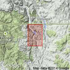
Named derived from Kobau Group of Bostock (1940), which is contiguous in adjacent British Columbia. Reduced in rank to formation in Loomis 15' quad. Reference locality designated as northeast flank of Ellemeham Mountain, sec.19 T40N R26E, Loomis 15' quad, Okanogan Co, WA. Consists of about 12,000 ft of interlayered grayish-green phyllite, greenstone, and massive metachert. Unconformably overlies Anarchist Group; in part conformably overlies Palmer Mountain Greenstone (new). Unconformably underlies Ellemeham Formation (new). Age considered Permian or Triassic largely based on unit's unconformable relationship with rocks of Late(?) Permian Anarchist Group.
Source: GNU records (USGS DDS-6; Menlo GNULEX).
For more information, please contact Nancy Stamm, Geologic Names Committee Secretary.
Asterisk (*) indicates published by U.S. Geological Survey authors.
"No current usage" (†) implies that a name has been abandoned or has fallen into disuse. Former usage and, if known, replacement name given in parentheses ( ).
Slash (/) indicates name conflicts with nomenclatural guidelines (CSN, 1933; ACSN, 1961, 1970; NACSN, 1983, 2005, 2021). May be explained within brackets ([ ]).