- Usage in publication:
-
- Kimmswick limestone
- Modifications:
-
- Original reference
- Dominant lithology:
-
- Limestone
- AAPG geologic province:
-
- Illinois basin
- Ozark uplift
Summary:
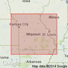
Pg. 111. Kimmswick limestone. More or less crystalline limestone quarried at Graysboro, Cape Girardeau, Glen Park, Kimmswick, and other localities in southeastern Missouri. The thin bed, 2 to 5 feet thick, generally found at top, which holds the Fernvale Richmond fauna, is not included. Overlies Plattin limestone. [Age is Middle Ordovician (Trenton and Black River?).]
[Named from exposures at Kimmswick, Jefferson Co., eastern MO.]
Source: US geologic names lexicon (USGS Bull. 896, p. 1095).

- Usage in publication:
-
- Kimmswick subgroup [informal]
- Modifications:
-
- Overview
- AAPG geologic province:
-
- Illinois basin
Summary:
Kimmswick subgroup [informal] of Galena Group. In Illinois, comprises Dunleith Formation, Wise Lake Formation, and Dubuque Formation.
["Subgroup" not recognized as a formal stratigraphic rank term (CSN, 1933; ACSN, 1961, 1970; NACSN, 1983, 2005, 2021). Considered informal and should not be capitalized.]
Source: Modified from GNU records (USGS DDS-6; Reston GNULEX).
- Usage in publication:
-
- Kimmswick Limestone
- Modifications:
-
- Revised
- AAPG geologic province:
-
- Illinois basin
- Ozark uplift
Summary:
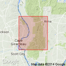
Kimmswick Limestone. Although Templeton and Willman (1963) classified Kimmswick as Kimmswick subgroup [informal] of Galena Group in Illinois, workers in Missouri continue to rank Kimmswick as a formation. Thompson (1991) points out that Kimmswick in Missouri is substantially different in lithology from the type Galena in northwestern Illinois. Kimmswick is a high-calcium limestone (coarse, crinoidal grainstone) whereas Galena is a fine- to medium-grained, argillaceous, cherty dolomite. Lithology of the Kimmswick in Jonesboro area is same as at its type area in Missouri and cannot be readily divided into smaller units. Therefore, authors use name Kimmswick Limestone instead of Kimmswick subgroup of Galena Group. Crops out in Missouri part of McClure and Cape Girardeau 7.5-min quadrangles and in Thebes 7.5-min quadrangle in Illinois, immediately south of study area. Excellent exposures are at Grays Point quarry in Thebes quadrangle. Several wells in McClure and Mill Creek 7.5-min quadrangles and in northern part of Thebes quadrangle penetrate Kimmswick. In outcrops and wells, Kimmswick consists of white to light-gray, mostly coarse-grained crinoidal grainstone containing practically no terrigenous clastic material. Thin intervals of darker, finer grained wackestone and packstone occasionally occur in upper part. Stylolites are common, as are vugs, some of which are lined with asphaltic residue. Black, semivitreous chert nodules common 20 to 40 feet below top. Light-gray, vuggy, crystalline dolomite reported in Kimmswick in sample logs from wells north of Jonesboro 15-min quadrangle. Fossils include "sunflower coral" RECEPTACULITES, gastropods, bryozoans, ostracods, trilobites, and brachiopods HEBERTELLA and PLATYSTROPHIA. Thickness ranges from about 115 to 160 feet in wells in and adjacent to study area. Age is Ordovician (Mohawkian).
["Subgroup" not recognized as a formal stratigraphic rank term (CSN, 1933; ACSN, 1961, 1970; NACSN, 1983, 2005, 2021). Considered informal and should not be capitalized.]
Source: Modified from GNU records (USGS DDS-6; Reston GNULEX).
- Usage in publication:
-
- Kimmswick Limestone
- Modifications:
-
- Overview
- AAPG geologic province:
-
- Illinois basin
- Ozark uplift
Summary:
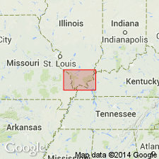
Ordovician (Champlainian) Kimmswick Limestone is equivalent to most of Galena Group in northern IL and is commonly called "Trenton" in subsurface. Crops out in narrow curving belt from Wittenburg, Perry Co., MO, southward through Cape Girardeau to Thebes, IL. Consists of readily identifiable white, light-gray, and pink, medium- to coarse-grained, thick-bedded to massive, commonly cross-bedded, crinoidal grainstone. Thin beds of sandstone and chert nodules occur locally. Upper part tends to be darker and finer grained than lower part, and tends to be slightly cherty. Brachiopods, bryozoans, and corals (especially "sunflower coral" RECEPTACULITES). Thickness is 50 to 165 ft in outcrops in MO and of similar thickness in subsurface of IL. Disconformably overlies Decorah Formation.
Source: GNU records (USGS DDS-6; Reston GNULEX).
- Usage in publication:
-
- Kimmswick Limestone*
- Modifications:
-
- Overview
- AAPG geologic province:
-
- Illinois basin
- Ozark uplift
Summary:
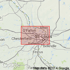
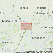
Middle Ordovician (Mohawkian) Kimmswick Limestone is mapped in IL and MO in St. Louis, MO, area. In places, is mapped undivided with rocks of Decorah Group. Contains RECEPTACULITES (sunflower coral), a Kimmswick index fossil. House Springs Bentonite Bed occurs approx. 3 ft (1 m) above base of Kimmswick.
Source: GNU records (USGS DDS-6; Reston GNULEX).
- Usage in publication:
-
- Kimmswick Limestone*
- Modifications:
-
- Overview
- AAPG geologic province:
-
- Illinois basin
- Ozark uplift
Summary:
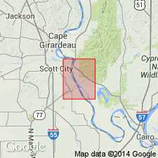
Ordovician (Mohawkian) Kimmswick Limestone consists of white to light-gray and pink, medium- to coarse-grained, cross-bedded, crinoidal grainstone. Kimmswick outcrop belt extends through eastern Perry Co., MO, into Alexander Co., IL, along Mississippi River. Thickness is typically 110 to 165 ft. Locally overlain by Cape Limestone.
Source: GNU records (USGS DDS-6; Reston GNULEX).
- Usage in publication:
-
- Kimmswick Limestone*
- Modifications:
-
- Areal extent
- Overview
- AAPG geologic province:
-
- Illinois basin
- Upper Mississippi embayment
Summary:
Middle Ordovician (Mohawkian) Kimmswick Limestone mapped in Upper Mississippi embayment in MO and Illinois basin in IL. Consists of light-gray to brownish-gray, medium- to coarse-grained, high-calcium limestone. Contains abundant fossil fragments (mostly crinoids) and common argillaceous partings and stylolites. Upper part contains black to brown chert nodules. A finely crystalline limestone, tentatively identified as Cape Limestone, has been logged above Kimmswick in drillhole south of Thebes, IL (no outcrops of Cape identified in quad).
Source: GNU records (USGS DDS-6; Reston GNULEX).
For more information, please contact Nancy Stamm, Geologic Names Committee Secretary.
Asterisk (*) indicates published by U.S. Geological Survey authors.
"No current usage" (†) implies that a name has been abandoned or has fallen into disuse. Former usage and, if known, replacement name given in parentheses ( ).
Slash (/) indicates name conflicts with nomenclatural guidelines (CSN, 1933; ACSN, 1961, 1970; NACSN, 1983, 2005, 2021). May be explained within brackets ([ ]).

