

- Usage in publication:
-
- Kennebec formation*
- Modifications:
-
- Named
- Biostratigraphic dating
- Dominant lithology:
-
- Tuff
- Volcanics
- AAPG geologic province:
-
- New England province
Summary:
Pg. 156 (fig. 16), 183, pl. 34. Kennebec formation. Consists of olive-drab, white-weathering, massive felsite and rhyolite tuff. Thickness unknown but probably a few hundred to a thousand feet. Occurs in belt about 5 miles long northeast to southwest through Somerset Junction. Basal relations and relations to Cambrian or Ordovician rocks unknown. Age is Middle Ordovician, based on brachiopod VALCOUREA. Report includes geologic map and correlation chart.
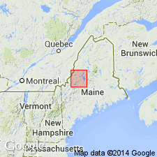
Type locality: 1/4 mi northeast of Somerset Junction on northwest side of abandoned railroad right-of-way on northwest side of west branch of Kennebec River, Brassua Lake 15-min quadrangle, northern Somerset Co., western ME. Named for Kennebec River.
Source: Publication; GNU records (USGS DDS-6; Reston GNULEX); US geologic names lexicon (USGS Bull. 1350, p. 387).
For more information, please contact Nancy Stamm, Geologic Names Committee Secretary.
Asterisk (*) indicates published by U.S. Geological Survey authors.
"No current usage" (†) implies that a name has been abandoned or has fallen into disuse. Former usage and, if known, replacement name given in parentheses ( ).
Slash (/) indicates name conflicts with nomenclatural guidelines (CSN, 1933; ACSN, 1961, 1970; NACSN, 1983, 2005, 2021). May be explained within brackets ([ ]).