

- Usage in publication:
-
- Kandik formation*
- Modifications:
-
- Named
- Biostratigraphic dating
- AAPG geologic province:
-
- Alaska East-Central region
Summary:
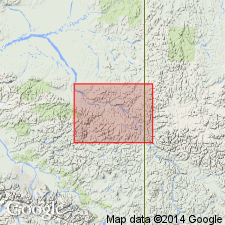
Named applied (by E. Blackwelder in unpub. notes) to Lower Cretaceous rocks of upper Yukon, AK which are typically exposed in valley of Kandik River from the Yukon northeastward probably to the boundary. Consists mainly of monotonous sequence of black argillaceous slate and thin beds of sandstone. Differs from Upper Triassic shales in that no calcareous shale or limestone seen. Thickness is about 2400 ft. Contains Early Cretaceous fossils identified by T.W. Stanton [list included]. Unconformably overlies rocks older than Early Cretaceous. Believed to unconformably underlie rocks of Late Cretaceous age. Assigned Early Cretaceous age.
Source: GNU records (USGS DDS-6; Menlo GNULEX).
- Usage in publication:
-
- Kandik formation*
- Modifications:
-
- Biostratigraphic dating
- AAPG geologic province:
-
- Alaska East-Central region
Summary:
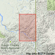
All rocks of Early Cretaceous age cropping out along Kandik River are provisionally assigned to Kandik formation. Pelecypods collected 2 mi upstream from mouth of Big Sitdown Creek suggest Early Cretaceous (Valanginian) age (D.L. Jones, written commun., 1961). Foraminifers collected along Nation River near mouth of Tinder Creek are possibly of early Neocomian age (H.R. Bergquist, written commun., 1961).
Source: GNU records (USGS DDS-6; Menlo GNULEX).
- Usage in publication:
-
- Kandik Group*
- Modifications:
-
- Revised
- AAPG geologic province:
-
- Alaska East-Central region
Summary:
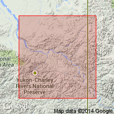
Kandik Formation of Mertie (1930) is raised in rank to Kandik Group and is subdivided into 3 newly named formations (ascending): Keenan Quartzite, Biederman Argillite, and Kathul Graywacke. Type locality designated as in vicinity of Kandik River and along valley of Yukon River from mouth of Glenn Creek to top of Biederman Bluff, east-central AK.
Source: GNU records (USGS DDS-6; Menlo GNULEX).
For more information, please contact Nancy Stamm, Geologic Names Committee Secretary.
Asterisk (*) indicates published by U.S. Geological Survey authors.
"No current usage" (†) implies that a name has been abandoned or has fallen into disuse. Former usage and, if known, replacement name given in parentheses ( ).
Slash (/) indicates name conflicts with nomenclatural guidelines (CSN, 1933; ACSN, 1961, 1970; NACSN, 1983, 2005, 2021). May be explained within brackets ([ ]).