

- Usage in publication:
-
- Kaguyak formation*
- Modifications:
-
- Named
- Biostratigraphic dating
- Dominant lithology:
-
- Siltstone
- Sandstone
- Shale
- AAPG geologic province:
-
- Alaska Southwestern region
Summary:
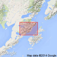
Named for exposures in vicinity of Kaguyak. Measured type section designated at Kayugak along sea cliffs from Big River to Swikshak River, southwestern AK. Rocks included in Chignik formation by Atwood (1911). Is confined to northeastern part of mapped area (Mount Katmai area). Unit divided into (ascending): lower fossiliferous siltstone member (about 2000 ft thick), middle massive cross-bedded sandstone and interbedded siltstone and silty shale member (1090 ft thick), and upper thin-bedded sandstone and siltstone member (about 1460 ft thick). Is 4550 ft thick at type. Upper contact not seen. Unconformably overlies Naknek formation. Fossils identified by R.W. Imlay (written commun,, 1954) are Campanian or Maestrichtian (Late Cretaceous age).
Source: GNU records (USGS DDS-6; Menlo GNULEX).
- Usage in publication:
-
- Kaguyak Formation*
- Modifications:
-
- Areal extent
- AAPG geologic province:
-
- Alaska Southwestern region
Summary:
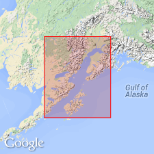
Upper Cretaceous (Campanian and Maestrichtian) rocks south of Kalgin Island, Cook Inlet area, are assigned to Kaguyak Formation; north of Kalgin Island they are assigned to Matanuska Formation. COST no.1 well penetrated 744 m (2325 ft) of Kaguyak Formation which includes three sandstone bodies that are potential hydrocarbon reservoirs.
Source: GNU records (USGS DDS-6; Menlo GNULEX).
For more information, please contact Nancy Stamm, Geologic Names Committee Secretary.
Asterisk (*) indicates published by U.S. Geological Survey authors.
"No current usage" (†) implies that a name has been abandoned or has fallen into disuse. Former usage and, if known, replacement name given in parentheses ( ).
Slash (/) indicates name conflicts with nomenclatural guidelines (CSN, 1933; ACSN, 1961, 1970; NACSN, 1983, 2005, 2021). May be explained within brackets ([ ]).