

- Usage in publication:
-
- Jeddito formation
- Modifications:
-
- Named
- AAPG geologic province:
-
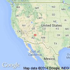
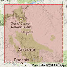
- Plateau sedimentary province
Summary:
Unit is named the Jeddito formation. Age is late Quaternary based on fossils [proboscidian mammals].
Source: GNU records (USGS DDS-6; Menlo GNULEX).
- Usage in publication:
-
- Jeddito Alluvium*
- Modifications:
-
- Redescribed
- Mapped 1:50k
- Dominant lithology:
-
- Sand
- Soil
- AAPG geologic province:
-
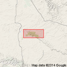
- San Juan basin
Summary:
Redescribed as alluvium after formation of Hack (1941). Is upper Pleistocene to lower Holocene formation mapped in San Juan and McKinley Cos, NM (San Juan basin). Is dark-yellowish-brown sand containing moderate yellowish-brown, angular, pebble- to cobble-sized clasts of sandstone and very dark brown to black, pebble-sized clasts of ironstone. Along Kin Klizhin and Fajada Washes, most clasts are from underlying Menefee Formation (Upper Cretaceous). Along Chaco River, Jeddito contains clasts of quartzite, petrified wood, quartz, and chert as large as 12 in derived from Ojo Alamo Sandstone (Paleocene), and other sources. Along Fajada Wash, a reddish-brown, well-developed, Altithermal soil formed in upper part; it contains (descending): a sandy humic A horizon about 3 in thick, a reddish-brown clayey firm B horizon 12 in thick, and a nodular to densely concentrated Cca horizon more than 27 in thick. In terraces along Kin Klizhin Wash and Chaco River, the B horizons of original soils generally were removed by erosion, but part of the calcium carbonate of the Cca horizon remains as coatings on the undersides of pebbles. Altithermal soil exposed locally in lower parts of arroyo walls along Chaco Wash, suggesting that Jeddito forms deep and seldom-exposed fill near center of wash. Jeddito forms terrace about 23 ft above Chaco River, Fajada Wash, and Kin Klizhin Wash. Maximum thickness along Fajada Wash about 33 ft.
Source: GNU records (USGS DDS-6; Denver GNULEX).
- Usage in publication:
-
- Jeddito Formation
- Modifications:
-
- Age modified
- AAPG geologic province:
-
- Plateau sedimentary province
Summary:
Age of the Jeddito Formation is late Pleistocene to early Holocene based on several dating techniques.
Source: GNU records (USGS DDS-6; Menlo GNULEX).
For more information, please contact Nancy Stamm, Geologic Names Committee Secretary.
Asterisk (*) indicates published by U.S. Geological Survey authors.
"No current usage" (†) implies that a name has been abandoned or has fallen into disuse. Former usage and, if known, replacement name given in parentheses ( ).
Slash (/) indicates name conflicts with nomenclatural guidelines (CSN, 1933; ACSN, 1961, 1970; NACSN, 1983, 2005, 2021). May be explained within brackets ([ ]).