- Usage in publication:
-
- Ira slate*
- Modifications:
-
- Named
- Dominant lithology:
-
- Slate
- AAPG geologic province:
-
- New England province
Summary:
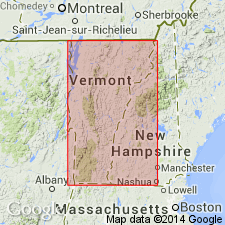
Named the Ira slate for Ira, Rutland Co., southwestern VT. Consists of dark-gray or black slate with very little banding or means of determining bedding, but a few feet of slate in lower part contains gray siliceous seams. Secondary quartz is developed in these beds and they are tightly squeezed and dissected by folding so that locally the formation resembles finely banded gneiss. Sedimentary contact between slate and underlying Williston limestone is sharp. Upper contact with West Rutland marble is equally sharp, with complete change from muddy sediments to pure limestone, and it appears to be unconformable with the West Rutland. The slate disappears at north end of Taconic Range, but to south it expands into a belt 1 or 2 miles wide. Thickness is probably 700 to 800 feet. The Ira is of Early Ordovician age.
Source: GNU records (USGS DDS-6; Reston GNULEX).
For more information, please contact Nancy Stamm, Geologic Names Committee Secretary.
Asterisk (*) indicates published by U.S. Geological Survey authors.
"No current usage" (†) implies that a name has been abandoned or has fallen into disuse. Former usage and, if known, replacement name given in parentheses ( ).
Slash (/) indicates name conflicts with nomenclatural guidelines (CSN, 1933; ACSN, 1961, 1970; NACSN, 1983, 2005, 2021). May be explained within brackets ([ ]).

