

- Usage in publication:
-
- Hulett sandstone member*
- Modifications:
-
- Named
- Dominant lithology:
-
- Sandstone
- AAPG geologic province:
-
- Powder River basin
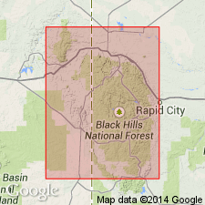
Summary:
Named as a member of Sundance formation. Type section is on north side of Bush Canyon about 2 1/2 mi north of Hulett, Crook Co, WY, in secs 25 and 36, T55N, R65W, in Powder River basin. Includes 25 to 120 ft of marine sandy beds consisting mainly of grayish, moderately hard, thin- to thick-bedded, fine-grained, calcareous, glauconitic, ripple-marked sandstone. Thickness at type 82 ft. Grades into underlying Stockade Beaver member and overlying Lak member (both new). Is Late Jurassic (Callovian) age.
Source: GNU records (USGS DDS-6; Denver GNULEX).
- Usage in publication:
-
- Hulett sandstone member
- Modifications:
-
- Revised
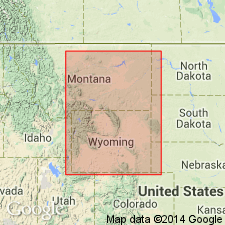
Summary:
Reallocated to member status (Hulett sandstone member) in Rierdon formation herein assigned to Sundance group. Assigned a Late Jurassic (Callovian) age.
Source: GNU records (USGS DDS-6; Denver GNULEX).
- Usage in publication:
-
- Hulett Sandstone Member
- Modifications:
-
- Overview
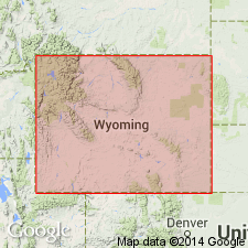
Summary:
Assigned to the "lower Sundance" Formation. Contains beds representative of the lower, middle, and upper shoreface, a beach/foreshore facies and, at top in the Black Hills area, a silty and sandy sequence interpreted as a lagoonal deposit formed behind a barrier island. A channel facies in the northern Black Hills probably formed in tidal channels transecting a barrier-island complex. Assigned a Late Jurassic age.
Source: GNU records (USGS DDS-6; Denver GNULEX).
- Usage in publication:
-
- Hulett Sandstone Member*
- Modifications:
-
- Areal extent
- AAPG geologic province:
-
- Denver basin
- Powder River basin
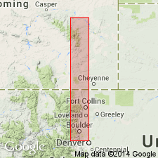
Summary:
Is one of seven members (Canyon Springs Sandstone, Stockade Beaver Shale, Hulett Sandstone, Lak, Pine Butte, Redwater Shale, and Windy Hill Sandstone (top) Members) of Jurassic Sundance Formation north of Chugwater Creek, Laramie Co, WY in northern Denver basin north to Douglas, Converse Co, WY in Powder River basin. Measured sections shown graphically.
Source: GNU records (USGS DDS-6; Denver GNULEX).
For more information, please contact Nancy Stamm, Geologic Names Committee Secretary.
Asterisk (*) indicates published by U.S. Geological Survey authors.
"No current usage" (†) implies that a name has been abandoned or has fallen into disuse. Former usage and, if known, replacement name given in parentheses ( ).
Slash (/) indicates name conflicts with nomenclatural guidelines (CSN, 1933; ACSN, 1961, 1970; NACSN, 1983, 2005, 2021). May be explained within brackets ([ ]).