

- Usage in publication:
-
- Huckleberry formation*
- Modifications:
-
- Named
- Dominant lithology:
-
- Conglomerate
- Greenstone
- AAPG geologic province:
-
- Okanogan province
Summary:
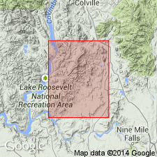
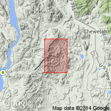
Unit is named the Huckleberry formation. Is divided into 2 members, lower one designated the conglomerate member and the upper one the greenstone member. These extend from the northern end of the magnesite belt (Stevens Co.) southward to the vicinity of the Deer Trail Monitor mine. South of this point (in sec. 24, T30N R37E) a thin sliver of the conglomerate member extends nearly to the Turk magnesite deposit. South of the Turk deposit, neither member is present. Conglomerate member is about 1500 ft thick. Estimated maximum thickness of the greenstone member is 3000 ft. In the northern part of the area, the greenstone successively overlaps the upper units of the Deer Trail group (Stensgar dolomite, slate and quartzite of Buffalo Hump formation) and the conglomerate member of the Huckleberry, thereby giving evidence of unconformity that separates the Deer Trail from the Huckleberry. Bennett (1941) gave the names Huckleberry conglomerate and Huckleberry greenstone to units herein referred to as conglomerate member and greenstone member. Age is Precambrian. (B1350)
Source: GNU records (USGS DDS-6; Menlo GNULEX).
- Usage in publication:
-
- Huckleberry Formation*
- Modifications:
-
- Age modified
- Geochronologic dating
- AAPG geologic province:
-
- Okanogan province
Summary:
Age of the Huckleberry Formation is revised from Precambrian Z to: Middle and (or) Late Proterozoic based on isotopic (K-Ar; basalt) ages ranging from 929 to 734 Ma from the upper part of the unit.
Source: GNU records (USGS DDS-6; Menlo GNULEX).
- Usage in publication:
-
- Huckleberry Formation*
- Modifications:
-
- Age modified
- AAPG geologic province:
-
- Okanogan province
Summary:
Age of the Huckleberry Formation is [everywhere] revised from Middle and (or) Late Proterozoic to: Late Proterozoic based on the revised age for the Windermere Group.
Source: GNU records (USGS DDS-6; Menlo GNULEX).
For more information, please contact Nancy Stamm, Geologic Names Committee Secretary.
Asterisk (*) indicates published by U.S. Geological Survey authors.
"No current usage" (†) implies that a name has been abandoned or has fallen into disuse. Former usage and, if known, replacement name given in parentheses ( ).
Slash (/) indicates name conflicts with nomenclatural guidelines (CSN, 1933; ACSN, 1961, 1970; NACSN, 1983, 2005, 2021). May be explained within brackets ([ ]).