

- Usage in publication:
-
- Horse Bench sandstone lentil*
- Modifications:
-
- Named
- Dominant lithology:
-
- Sandstone
- Mudstone
- AAPG geologic province:
-
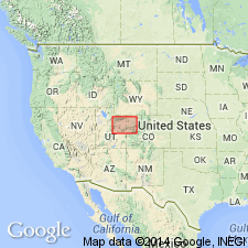
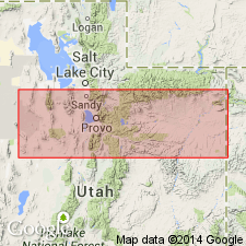
- Uinta basin
Summary:
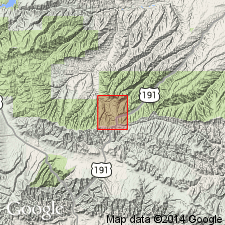
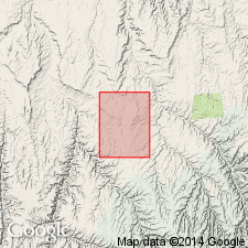
Named as a bed in the unnamed upper shaly facies of the Green River formation for an extensive bench or table-land in northeast Carbon Co, UT south of the Minnie Maud Creek, tributary of the Green River, Uinta basin. Horse Bench lies in T12N, Rs17 and 18W. No type locality designated. Lies within the 900 ft thick interval of grayish-brown slope-forming shale. Consists of about 55 ft of thin-bedded and ripple-marked sandstone that alternates with a lesser amount of hard greenish-gray micaceous and sandy mudstone. Is much more resistant than the adjoining part of the Green River, lying about 500 ft above the principal oil-shale beds and about 475 ft below the top of the Green River. Can be traced about 25 mi west and about 20 mi east of the Green River. Pinches out in Uintah Co, UT. Geologic map. Cross section. Of middle Eocene age.
Source: GNU records (USGS DDS-6; Denver GNULEX).
- Usage in publication:
-
- Horse Bench sandstone bed*
- Modifications:
-
- Revised
- Areal extent
- AAPG geologic province:
-
- Uinta basin
- Piceance basin
Summary:
Is a sandstone about 175 ft above the base of the Evacuation Creek member of the Green River formation. Was formerly in the upper shaly facies of the Green River. Names Horse Bench and Evacuation Creek both used from Wasatch Co, UT, east across Duchesne and Uintah Cos in the Uinta basin and east to CO in the Piceance basin. Is continuous from the Duchesne-Uintah Co line east. To west, the sandstone is discontinuous. Name applied to sandstone in same general position as the Horse Bench to the east. Cross section. Eocene age.
Source: GNU records (USGS DDS-6; Denver GNULEX).
- Usage in publication:
-
- Horse Bench Sandstone Bed*
- Modifications:
-
- Revised
- AAPG geologic province:
-
- Uinta basin
Summary:
Present in Indian Canyon area, Duchesne Co, UT in the Uinta basin. Assigned to the upper part of the Eocene Green River Formation in this report. Was assigned to the Evacuation Creek Member in earlier reports, but Evacuation Creek was abandoned by Cashion and Donnell in 1974. Thins east. Absent in Ouray on the Green River in Duchesne Co.
Source: GNU records (USGS DDS-6; Denver GNULEX).
- Usage in publication:
-
- Horse Bench Sandstone Bed*
- Modifications:
-
- Revised
- AAPG geologic province:
-
- Uinta basin
Summary:
Assigned as a bed in the Parachute Creek Member of the Eocene Green River Formation in Uintah Co, UT in the Uinta basin. Formerly assigned to upper part or to Evacuation Creek Member of the Green River Formation. Is a unit about 3 m thick that occurs 42-45 m below top of Parachute Creek.
Source: GNU records (USGS DDS-6; Denver GNULEX).
For more information, please contact Nancy Stamm, Geologic Names Committee Secretary.
Asterisk (*) indicates published by U.S. Geological Survey authors.
"No current usage" (†) implies that a name has been abandoned or has fallen into disuse. Former usage and, if known, replacement name given in parentheses ( ).
Slash (/) indicates name conflicts with nomenclatural guidelines (CSN, 1933; ACSN, 1961, 1970; NACSN, 1983, 2005, 2021). May be explained within brackets ([ ]).