

- Usage in publication:
-
- Hoadley formation*
- Modifications:
-
- Named
- Dominant lithology:
-
- Argillite
- Quartzite
- Sandstone
- Limestone
- AAPG geologic province:
-
- Northern Rocky Mountain region
Summary:
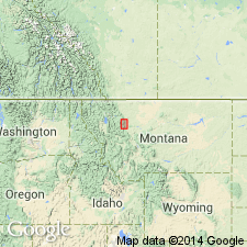
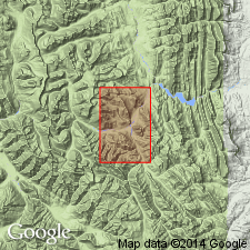
Named as a formation of the Belt series for Hoadley Reef in the Saypo quad, Teton Co, MT in Northern Rocky Mountain region. Section about 4,100 ft thick described. Overlies Cayuse formation (new) of Belt; lower contact drawn arbitrarily at base of first prominent argillite. Underlies Ahorn quartzite (new) of Belt; upper contact placed at top of gentler slopes of red-weathering Hoadley beneath the quartzite. No type locality designated. Composed of: 1) dark-green, green-gray, maroon, thick-bedded argillite, argillaceous fine-grained quartzite in beds 1 to 12 inches thick, 400 ft thick; 2) buff, arenaceous, calcareous argillite and fine-grained sandstone 1,000 to 1,050 ft thick that grade up to green-buff weathering calcareous sandstone and argillite 500 ft thick; 3) pink, red, buff sandstone and argillite 1,500 ft thick; 4) buff-weathering, calcareous, sericitic and limonitic argillite and red argillaceous sandstone 300 ft thick; 5) buff-weathering, calcareous argillite and argillaceous limestone interbedded with pink-gray ripple-marked sandstone 350 ft thick; and 6) dark- and brilliant-red, soft, thin- and thick-bedded, platy to ripple-marked sandstone interbedded with some pale red argillite and a few tan, buff sandstone beds, 700 ft thick. Of pre-Cambrian age. Algae COLLENIA in no. 5.
Source: GNU records (USGS DDS-6; Denver GNULEX).
- Usage in publication:
-
- Hoadley Formation*
- Modifications:
-
- Areal extent
- AAPG geologic province:
-
- Northern Rocky Mountain region
Summary:
Mapped as a formation of the Belt on southwest-central and western part of quad, Lewis and Clark Co, MT, in Northern Rocky Mountain region. Four informal members mapped, listed in ascending order--red and tan siltstone member, about 700 ft thick; tan siltstone member, about 815 ft thick; red sandstone member, about 825 ft thick; and red siltstone member, about 995 ft thick. The lower member is equivalent to the Snowslip Formation (Childers, 1963; McGill, Sommers, written commun); tan siltstone member is equivalent to the Shepard Formation; the upper two members are equivalent to the Shields Formation (Childers, 1963; McGill, Sommers, written commun). Overlies Helena Dolomite of Belt; underlies Ahorn Sandstone of Belt. Precambrian age.
Source: GNU records (USGS DDS-6; Denver GNULEX).

- Usage in publication:
-
- Hoadley Formation*†
- Modifications:
-
- Abandoned
Summary:
Nomenclature of Deiss (1943) of Saypo quad and Sawtooth Range, MT as applied to Belt Supergroup rocks (all in the Northern Rocky Mountain region) abandoned. Name Hoadley Formation abandoned and replaced by Snowslip Formation, Shepard Formation, and Mount Shields (formerly called Shields) Formation of Missoula Group of Belt Supergroup. Correlation chart.
Source: GNU records (USGS DDS-6; Denver GNULEX).
For more information, please contact Nancy Stamm, Geologic Names Committee Secretary.
Asterisk (*) indicates published by U.S. Geological Survey authors.
"No current usage" (†) implies that a name has been abandoned or has fallen into disuse. Former usage and, if known, replacement name given in parentheses ( ).
Slash (/) indicates name conflicts with nomenclatural guidelines (CSN, 1933; ACSN, 1961, 1970; NACSN, 1983, 2005, 2021). May be explained within brackets ([ ]).