

- Usage in publication:
-
- Hinshaw Member
- Modifications:
-
- Original reference
- Dominant lithology:
-
- Sandstone
- Shale
- AAPG geologic province:
-
- Green River basin
Summary:
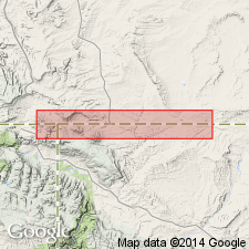
Pg. 14, 15 (fig. 2). Hinshaw Member of Hilliard Shale. Is uppermost member of Hilliard Shale. In outcrop area south of Frontier, Uinta County, southeastern Wyoming, consists of about 850 feet of buff to brown and light-gray, fine- to medium-grained lenticular sandstones and gray arenaceous shales. Section is well-defined marine transitional sequence between homogeneous marine shales of Hilliard below and littoral marine Lazeart Sandstone [Member of Adaville Formation] above. Northward, in vicinity of T. 23 N., R. 116 W., the Hinshaw changes facies to continental sediments of Adaville. Age is Late Cretaceous (Niobraran), based on fossils (pelecypods, cephalopods).
Typically exposed near Hinshaw Ranch [south of confluence of Byrne and HInshaw Creeks], in sec. 22, T. 16 N., R. 118 W., Uinta Co., southwestern WY. [Additional locality information from Veatch, 1907, USGS Prof. Paper 56, pl. 26.]
Source: US geologic names lexicon (USGS Bull. 1350, p. 334); supplemental information from GNU records (USGS DDS-6; Denver GNULEX).
- Usage in publication:
-
- Hinshaw Member*
- Modifications:
-
- Mapped
- AAPG geologic province:
-
- Green River basin
Summary:
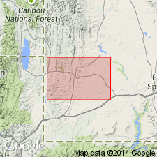
Hinshaw Member, uppermost member of Hilliard Shale. Mapped in Loncoln County, Wyoming, western part of Green River basin. A 260- to 305-m-thick marine transitional sequence of interbedded shales and sandstones between shales of main body of Hilliard below and sandstones of Lazeart Sandstone Member of Adaville Formation (lower Campanian) above. Sandstones, gray to tan, fine-grained, somewhat speckled with feldspar and chert grains, and locally burrowed; in places, hummocky-bedded, trough cross-stratified, and contain large-scale ball and pillow structures. Age is Late Cretaceous (Coniacian and Santonian), based on fossils (palynomorphs). [Stratigraphic position implies Santonian, perhaps upper Santonian, for the Hinshaw.]
Source: Modified from GNU records (USGS DDS-6; Denver GNULEX).
For more information, please contact Nancy Stamm, Geologic Names Committee Secretary.
Asterisk (*) indicates published by U.S. Geological Survey authors.
"No current usage" (†) implies that a name has been abandoned or has fallen into disuse. Former usage and, if known, replacement name given in parentheses ( ).
Slash (/) indicates name conflicts with nomenclatural guidelines (CSN, 1933; ACSN, 1961, 1970; NACSN, 1983, 2005, 2021). May be explained within brackets ([ ]).