

- Usage in publication:
-
- Highway limestone*
- Modifications:
-
- Original reference
- AAPG geologic province:
-
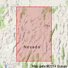
- Great Basin province
Summary:
Highway limestone. Described as massive light-gray limestone. In places cherty near base; thin pebbly and sandy layers throughout. Thickness at type locality 200 feet. Overlies Battle formation at some localities; other places, overlies Preble formation with angular unconformity. Underlies Antler Peak limestone. Age is Early Pennsylvanian.
Confined to Edna Mountain area. Regarded as an offshore facies contemporaneous with upper part of Battle formation at Antler Peak.
Source: US geologic names lexicon (USGS Bull. 1200, p. 1761).
- Usage in publication:
-
- Highway limestone*
- Modifications:
-
- Overview
- AAPG geologic province:
-
- Great Basin province
Summary:
Pg. 2842. Highway limestone, about 200 feet thick, in Osgood and Edna Mountains, is facies of Battle formation composed of limestone and some interbedded conglomerate and calcareous clastics. Age is Middle Pennsylvanian.
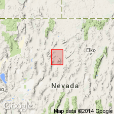
Type locality: east flank of Edna Mountain, north of Highway 40, north-central NV.
Source: US geologic names lexicon (USGS Bull. 1200, p. 1761).
For more information, please contact Nancy Stamm, Geologic Names Committee Secretary.
Asterisk (*) indicates published by U.S. Geological Survey authors.
"No current usage" (†) implies that a name has been abandoned or has fallen into disuse. Former usage and, if known, replacement name given in parentheses ( ).
Slash (/) indicates name conflicts with nomenclatural guidelines (CSN, 1933; ACSN, 1961, 1970; NACSN, 1983, 2005, 2021). May be explained within brackets ([ ]).