

- Usage in publication:
-
- Hickory sandstone*
- Modifications:
-
- Overview
- AAPG geologic province:
-
- Llano uplift
Summary:
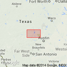
Mapped (geologic map) across the Llano and Burnet quads, central TX, Llano uplift. A fairly continuous outcrop area extends from north of the Colorado River north and west to the west limit of the Llano quad, and as individual outcrop areas in the south parts of both quads from Gunman Mountain west to Packsaddle Mountain, Riley Mountain, Putnam and Prairie Mountains, and into adjacent Mason Co., TX. Ranges from a thin bed to 350+ ft thick. Has conglomeratic interval about 75 ft thick at base of coarse granite (quartz and feldspar fragments) one-fourth inch in diameter in a white matrix of small quartz grains, feldspar fragments, and calcium carbonate. Locally, some of the basal conglomeratic layers are coarser than at other places. The overlying portion is white, red, brown, calcareous sandstone. Upper contact with overlying Cap Mountain formation is gradational. Measured sections of Late Cambrian age. Correlated with the Reagan sandstone of OK. Columnar section.
Source: GNU records (USGS DDS-6; Denver GNULEX).
- Usage in publication:
-
- Hickory sandstone member*
- Modifications:
-
- Revised
- AAPG geologic province:
-
- Llano uplift
Summary:
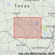
Revised from Hickory sandstone to Hickory sandstone member, basal member of Riley formation (named). Consists of noncalcareous brown sandstone 335 ft thick. Lower contact not described; upper contact placed at change from noncalcareous to calcareous sandstone. Upper contact gradational. Underlies Cap Mountain limestone member (formerly Cap Mountain limestone), middle member of Riley. Report is in Blanco Co TX, lies in the Llano uplift. Late Cambrian age.
Source: GNU records (USGS DDS-6; Denver GNULEX).
- Usage in publication:
-
- Hickory sandstone member*
- Modifications:
-
- Revised
- AAPG geologic province:
-
- Llano uplift
Summary:
TX) ranges from about 600 to nearly 800 ft thick; it is thickest in southeast Llano Co and thinnest in northwest lies Wilberns formation; it is assigned a Late Cambrian boundary of Hickory modified; contact with overlying Cap a zone of alternating impure dark brown limestone and calcareous sandstone; this contact is also a distinct topographic and vegetational break. The Hickory-Cap Mountain contact was previously placed at an indefinite point in within this sequence. The upper contact of the Lion Mountain is revised in that Lion Mountain underlies the newly named Welge sandstone member of the Wilberns.
Source: GNU records (USGS DDS-6; Denver GNULEX).
For more information, please contact Nancy Stamm, Geologic Names Committee Secretary.
Asterisk (*) indicates published by U.S. Geological Survey authors.
"No current usage" (†) implies that a name has been abandoned or has fallen into disuse. Former usage and, if known, replacement name given in parentheses ( ).
Slash (/) indicates name conflicts with nomenclatural guidelines (CSN, 1933; ACSN, 1961, 1970; NACSN, 1983, 2005, 2021). May be explained within brackets ([ ]).