

- Usage in publication:
-
- Hazens Notch formation
- Modifications:
-
- Named
- Dominant lithology:
-
- Rhyolite
- Schist
- Quartzite
- AAPG geologic province:
-
- New England province
Summary:
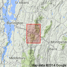
Named the Hazens Notch formation of the Camels Hump group (applied to graphitic rocks near top of group) for Hazens Notch in eastern part of Jay Peak quad, northwestern VT. Consists of graphitic rhyolite and schist and interbedded dark-colored quartzite. Overlies the Mount Abraham schist and underlies the Pinney Hollow formation. Northward, the Mount Abraham and Pinney Hollow die out and the Hazens Notch overlies the Underhill formation and underlies the Ottaqueche formation. Largest areal extent of formation in the quadrangle is on east side of Green Mountain anticlinorium where it forms an outcrop belt about 3 mi wide. The Hazens Notch is of Cambrian age.
Source: GNU records (USGS DDS-6; Reston GNULEX).
- Usage in publication:
-
- Hazens Notch formation*
- Modifications:
-
- Overview
- AAPG geologic province:
-
- New England province
Summary:
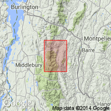
The Hazens Notch formation in the Lincoln Mountain quad, VT, overlies the Mount Abraham schist and Underhill formation and underlies the Pinney Hollow formation.
Source: GNU records (USGS DDS-6; Reston GNULEX).
- Usage in publication:
-
- Hazens Notch formation*
- Modifications:
-
- Principal reference
- Redescribed
- Dominant lithology:
-
- Schist
- Gneiss
- Quartzite
- Amphibolite
- AAPG geologic province:
-
- New England province
Summary:
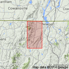
The Hazens Notch formation chiefly consists of interbedded carbonaceous and noncarbonaceous quartz-sericite-chlorite schist, which grades imperceptibly into less abundant gneiss of similar composition and quartzite. Amphibolite occurs as interbedded tabular bodies, mostly within the schist and gneiss. Characteristic section is exposed along or near State Highway 105 across Green Mountains in towns of Troy and Jay. Apparent thickness of exposed part of formation is about 15,000 ft. Unit extends southward along strike into Camels Hump group in Hyde Park quad. North of international boundary, rocks extend along strike into terrane chiefly of quartz-sericite-albite-chlorite schist and interbedded carbonaceous zones, greenstone, and quartzite variously referred to in Canada as Sutton schists, Sutton group, and schists of Caldwell group. Unit underlies the Jay Peak formation. The Hazens Notch is of Early Cambrian age.
Source: GNU records (USGS DDS-6; Reston GNULEX).
- Usage in publication:
-
- Hazens Notch Formation
- Modifications:
-
- Age modified
- AAPG geologic province:
-
- New England province
Summary:
The age of the Hazens Notch Formation is changed from Cambrian to Late Proterozoic and Cambrian based on reevaluation of stratigraphy and structure.
Source: GNU records (USGS DDS-6; Reston GNULEX).

- Usage in publication:
-
- Hazens Notch
- Modifications:
-
- Not used
- AAPG geologic province:
-
- New England province
Summary:
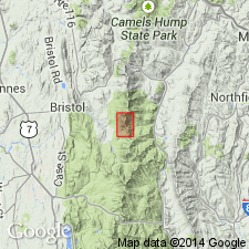
According to author, the name Hazens Notch is a big problem in VT stratigraphic nomenclature. In northern VT, it consists of carbonaceous and non-carbonaceous schist associated with ultramafics, mafic schists, and blueschists, while in the Camels Hump quad, it is considered to be strictly a carbonaceous albitic schist with associated mafic schist. The use of the name Hazens Notch is not recommended for the white albitic schist of the Fayston-Buels Gore area. Those rocks are here assigned to the newly named Fayston Formation.
Source: GNU records (USGS DDS-6; Reston GNULEX).
For more information, please contact Nancy Stamm, Geologic Names Committee Secretary.
Asterisk (*) indicates published by U.S. Geological Survey authors.
"No current usage" (†) implies that a name has been abandoned or has fallen into disuse. Former usage and, if known, replacement name given in parentheses ( ).
Slash (/) indicates name conflicts with nomenclatural guidelines (CSN, 1933; ACSN, 1961, 1970; NACSN, 1983, 2005, 2021). May be explained within brackets ([ ]).