- Usage in publication:
-
- Hawkhill formation*
- Modifications:
-
- Original reference
- Dominant lithology:
-
- Siltstone
- Sandstone
- AAPG geologic province:
-
- Klamath Mountains province
Summary:
Hawkhill formation. Consists of four members: lower siltstone 110 feet thick, lower sandstone 160 feet thick, upper siltstone 650 feet thick, and upper concretionary fine sandstone 270 feet thick. Disconformable with underlying Cretaceous strata and with overlying Eocene strata referred to Domengine formation. Age is middle Eocene.
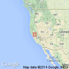
Type section: exposed in roadcuts near Hawkhill in Mount Diablo Park on south side of Mount Diablo, northern CA.
Source: US geologic names lexicon (USGS Bull. 1200, p. 1706).
For more information, please contact Nancy Stamm, Geologic Names Committee Secretary.
Asterisk (*) indicates published by U.S. Geological Survey authors.
"No current usage" (†) implies that a name has been abandoned or has fallen into disuse. Former usage and, if known, replacement name given in parentheses ( ).
Slash (/) indicates name conflicts with nomenclatural guidelines (CSN, 1933; ACSN, 1961, 1970; NACSN, 1983, 2005, 2021). May be explained within brackets ([ ]).

