

- Usage in publication:
-
- Hatchet Mountain formation*
- Modifications:
-
- Named
- Dominant lithology:
-
- Lava
- Breccia
- Volcaniclastics
- AAPG geologic province:
-
- Oregon-Washington Coast Ranges province
Summary:
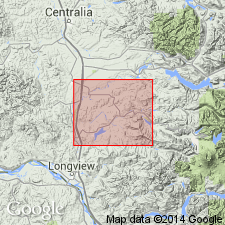
Named for Hatchet Mountain, southern Lewis Co, Toutle 15' quad, WA. [no type designated] Typically exposed in secs.30-31 T11N R2E and secs.25 and 36 T11N R1E. Consists of more than 2750 ft of lava flows, flow breccia, pyroclastic rocks and tuffaceous sedimentary rocks. Conformably overlies and may interfinger with upper part of Cowlitz Formation (of late Eocene age); unconformably underlies Toutle Formation (new) (of late Eocene to early Oligocene age). No fossils found. Age is late Eocene based on stratigraphic position.
Source: GNU records (USGS DDS-6; Menlo GNULEX).
For more information, please contact Nancy Stamm, Geologic Names Committee Secretary.
Asterisk (*) indicates published by U.S. Geological Survey authors.
"No current usage" (†) implies that a name has been abandoned or has fallen into disuse. Former usage and, if known, replacement name given in parentheses ( ).
Slash (/) indicates name conflicts with nomenclatural guidelines (CSN, 1933; ACSN, 1961, 1970; NACSN, 1983, 2005, 2021). May be explained within brackets ([ ]).