


- Usage in publication:
-
- Harper sandstones
- Harper beds
- Modifications:
-
- Original reference
- Dominant lithology:
-
- Shale
- Sandstone
- AAPG geologic province:
-
- Sedgwick basin
Summary:
Pg. 3, 18-20. Harper sandstones of beds. More or less mottled but prevailingly dull-red or brownish-red argillaceous and arenaceous shales and sandstones, several hundred feet thick, composing basal formation of Kiger division and Cimarron series. Thickness several hundred feet. Overlies, probably unconformably, Wellington shale and underlies Salt Plain measures. Includes at base transitional beds of calcareous shale which might perhaps be reckoned equally well as constituting the summit of the Wellington. Age is Permian.
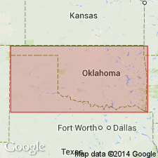
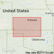
Named from exposures in Harper Co., central southern KS.
[GNC remark (US geologic names lexicon, USGS Bull. 896, p. 913): In northern Oklahoma is represented in Enid formation.]
Source: US geologic names lexicon (USGS Bull. 896, p. 913); GNC KS-NE Permian Corr. Chart, Oct. 1936.
- Usage in publication:
-
- Harper sandstone
- Modifications:
-
- Revised
Summary:
Harper sandstone in Kingfisher formation. Underlies Salt Plain member of Kingfisher formation; overlies Wellington shale. Age is Permian (Salt Fork).
Source: GNC KS-NE Permian Corr. Chart, Oct. 1936.
- Usage in publication:
-
- Harper sandstone
- Modifications:
-
- Revised
Summary:
Pg. 1557. Harper sandstone. Includes (ascending) Ninnescah shale (new), Stone Corral, Chikaskia sandstone (new), and Kingman sandstone (new) members. Age is Permian.
Source: US geologic names lexicon (USGS Bull. 1200, p. 1681).

- Usage in publication:
-
- Harper redbeds
- Modifications:
-
- Revised
Summary:
Pg. 11. Typical Harper redbeds overlie Afton limestone member (new) of Wellington formation. Age is Permian.
Source: US geologic names lexicon (USGS Bull. 1200, p. 1681).
- Usage in publication:
-
- Harper sandstone
- Modifications:
-
- Revised
Summary:
Pg. 1782-1786. Harper sandstone of Nippewalla group. Assigned to Nippewall group (new) and restricted below to exclude Ninnescah shale and Stone Corral formations. Age is Permian.
Source: US geologic names lexicon (USGS Bull. 1200, p. 1681).
- Usage in publication:
-
- Harper sandstone
- Modifications:
-
- Overview
Summary:
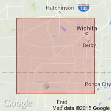
Pg. 159. Harper sandstone of Nippewalla group. Includes (ascending) Chikaskia member and Kingman sandstone member. Thickness about 220 feet. Overlies Stone Corral dolomite of Sumner group; underlies Salt Plain formation; northward is overlapped by Cenozoic rocks. Outcrops are in Harper, Kingman, Reno, and Rice Counties. Age is Early Permian (Leonard).
Source: US geologic names lexicon (USGS Bull. 1200, p. 1681).

- Usage in publication:
-
- Harper siltstone
- Modifications:
-
- Overview
Summary:
Harper siltstone of Nippewalla group. Comprises (ascending) Chikaskia siltstone and Kingman siltstone members. Overlies Stone Corral formation; underlies Salt Plain siltstone. Age is Permian.
Source: US geologic names lexicon (USGS Bull. 1200, p. 1681).
For more information, please contact Nancy Stamm, Geologic Names Committee Secretary.
Asterisk (*) indicates published by U.S. Geological Survey authors.
"No current usage" (†) implies that a name has been abandoned or has fallen into disuse. Former usage and, if known, replacement name given in parentheses ( ).
Slash (/) indicates name conflicts with nomenclatural guidelines (CSN, 1933; ACSN, 1961, 1970; NACSN, 1983, 2005, 2021). May be explained within brackets ([ ]).