

- Usage in publication:
-
- Hammer Creek Formation
- Modifications:
-
- Named
- Dominant lithology:
-
- Conglomerate
- AAPG geologic province:
-
- Piedmont-Blue Ridge province
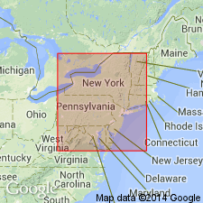
- Gettysburg basin
- Newark basin
Summary:
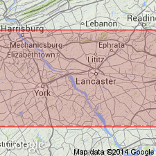
Coarse sandstones and conglomerates which outcrop in the narrow neck of the Newark-Gettysburg basin in PA are here named the Hammer Creek Formation of the Newark Group to avoid extending either the Gettysburg Formation from the west or the Brunswick Formation from the east to include rocks typical of neither unit. The Hammer Creek is defined between two arbitrary cutoffs, the Dauphin-Lebanon Co. line on the west and a line in the vicinity of the Schuylkill River on the east. It is characterized by heterogeneous texture and composition and lateral pinching out of individual beds. It overlies the New Oxford Formation in the west and the Stockton Formation in the east. It includes rocks previously defined as the Brunswick Formation, Robeson Conglomerate, and the Gettysburg Formation and its Furnace Ridge and Elizabeth Furnace Conglomerate Members. Thickness at type section is 9,360 ft. Age is Late Triassic.
Source: GNU records (USGS DDS-6; Reston GNULEX).
- Usage in publication:
-
- Hammer Creek Formation
- Modifications:
-
- Revised
- Areal extent
- AAPG geologic province:
-
- Piedmont-Blue Ridge province
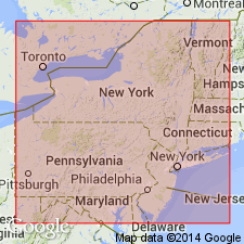
- Newark basin
Summary:
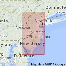
The name Hammer Creek Formation is here extended to all the predominantly conglomeratic deposits in the Newark Group concentrated mainly along the northwest margin of the Newark basin in eastern PA, NJ, and Rockland Co., NY. In the central part of the basin it interfingers with the Stockton, Lockatong, and Brunswick Formations. It varies from poorly sorted well rounded conglomerate to angular breccia and consists of Paleozoic quartzite, conglomerate, and gneiss.
Source: GNU records (USGS DDS-6; Reston GNULEX).
- Usage in publication:
-
- Hammer Creek Conglomerate
- Modifications:
-
- Revised
- Areal extent
- AAPG geologic province:
-
- Piedmont-Blue Ridge province
- Newark basin
Summary:
Coarse fanglomerate along the northwest border of the Newark basin east of the Delaware River, NJ, interfingering with the Stockton, Lockatong, and Brunswick formations, is called the Hammer Creek Conglomerate. The deposits are arranged in lenticular, crudely fining-upward units. Clasts are mostly of Paleozoic quartzite and range in size from 10-20 cm cobbles to blocks 30 cm long.
Source: GNU records (USGS DDS-6; Reston GNULEX).
- Usage in publication:
-
- Hammer Creek Formation*
- Modifications:
-
- Overview
- AAPG geologic province:
-
- Piedmont-Blue Ridge province
- Gettysburg basin
Summary:
The Hammer Creek Formation of the Newark Group is adopted as defined by Glaeser (1963) in the narrow neck between the Gettysburg and Newark basins.
Source: GNU records (USGS DDS-6; Reston GNULEX).
- Usage in publication:
-
- Hammer Creek Formation*
- Modifications:
-
- Areal extent
- AAPG geologic province:
-
- Piedmont-Blue Ridge province
- Newark basin
Summary:
On the east side of the narrow neck near the Schuylkill River, the Hammer Creek Formation is a partial lateral correlative of and unconformably overlies the Stockton Formation, and interfingers laterally with the lower part of the Brunswick Group.
Source: GNU records (USGS DDS-6; Reston GNULEX).
For more information, please contact Nancy Stamm, Geologic Names Committee Secretary.
Asterisk (*) indicates published by U.S. Geological Survey authors.
"No current usage" (†) implies that a name has been abandoned or has fallen into disuse. Former usage and, if known, replacement name given in parentheses ( ).
Slash (/) indicates name conflicts with nomenclatural guidelines (CSN, 1933; ACSN, 1961, 1970; NACSN, 1983, 2005, 2021). May be explained within brackets ([ ]).