

- Usage in publication:
-
- Goobic sands
- Modifications:
-
- Named
- Dominant lithology:
-
- Sand
- AAPG geologic province:
-
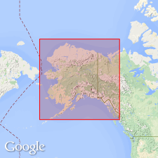
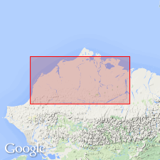
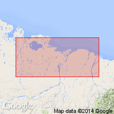
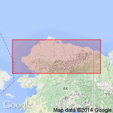
- Alaska Northern region
Summary:
Is surficial deposit of brownish sand or loam about 10 or 15 ft thick which is persistent over wide area in Colville or Arctic slope province, north AK. Origin is probably fluviatile delta. Unconformably overlies Colville series. Is Pleistocene age.
Source: GNU records (USGS DDS-6; Menlo GNULEX).
- Usage in publication:
-
- Gubik sand*
- Modifications:
-
- Redescribed
- AAPG geologic province:
-
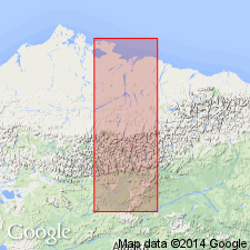
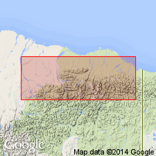
- Alaska Northern region
Summary:
Here named Gubik sand after Eskimo name for Colville River along which it forms surficial terrane of coastal plain of north AK. [Eskimo name for lower river is Kupik or "big river". Gubik is now accepted spelling.] Deposit consists of fine sand with considerable silt. Locally contains fine gravel. Supposed to be Pleistocene age.
Source: GNU records (USGS DDS-6; Menlo GNULEX).
- Usage in publication:
-
- Gubik formation*
- Modifications:
-
- Redescribed
- AAPG geologic province:
-
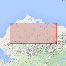
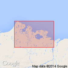
- Alaska Northern region
Summary:
Type locality designated as bluffs along west bank of Colville River from mouth of Anaktuvuk River to Ocean Point, northern AK. Redescribed as Gubik formation. Mantles much of Arctic coastal plain of northern AK. Consists largely of marine loosely consolidated cross-bedded brown or buff gravel, sand, silt, and clay. Ranges in thickness from few ft to 150 ft but generally 10 to 30 ft. Unconformably overlies Sagavanirktok formation (new) [in some area] and Colville group in other areas. Is Pleistocene age
Source: GNU records (USGS DDS-6; Menlo GNULEX).
- Usage in publication:
-
- Gubik formation*
- Modifications:
-
- Biostratigraphic dating
- AAPG geologic province:
-
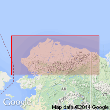
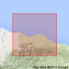
- Alaska Northern region
Summary:
Several characteristic faunules are found in Quaternary Gubik formation, each distinguished by different species of NEPTUNEA. This suggests that Gubik contains several nonsynchronous and isolated zones of near shore facies deposited during a period of oscillating strand and that Gubik is not one unit but consists of several thin units of slightly different age.
Source: GNU records (USGS DDS-6; Menlo GNULEX).
- Usage in publication:
-
- Gubik Formation*
- Modifications:
-
- Age modified
- Revised
- AAPG geologic province:
-
- Alaska Northern region
Summary:
Unconsolidated Gubik Formation of Quaternary age unconformably mantles rocks of Cretaceous or Tertiary age throughout Arctic coastal plain province of northern AK. Divided into 3 lithologic units (older to younger). Skull Cliff unit consists of 20 ft of poorly sorted clay- to cobble size sedimentary deposits, commonly sticky or greasy, blue black to dark gray, mostly marine but partly possibly glacially derived, overlying Cretaceous rocks west of Colville River. Meade River unit consists of 200 ft of clean light-colored well sorted quartz sand, mostly marine, generally unconformably overlies Skull Cliff unit. Barrow unit consists of few 10's of ft of poorly sorted to well sorted mixtures of clay, silt, sand and gravel, generally marine at base but lacustrine and fluvial in upper part, generally interfingers Meade River unit.
Source: GNU records (USGS DDS-6; Menlo GNULEX).
- Usage in publication:
-
- Gubik Formation*
- Modifications:
-
- Overview
- AAPG geologic province:
-
- Alaska Northern region
Summary:
Gubik Formation studied along Niguanak River and in area between Carter and Marsh Creeks. Measured section at Niguanak River (69 deg 49'30"N, 143 deg 05'30"W) is 35 ft thick (base not exposed). Few microfossils obtained area between Carter and Marsh Creeks. Is probably entirely Quaternary age.
Source: GNU records (USGS DDS-6; Menlo GNULEX).
- Usage in publication:
-
- Gubik Formation*
- Modifications:
-
- Age modified
- Biostratigraphic dating
- AAPG geologic province:
-
- Alaska Northern region
Summary:
Basal marine unit of Gubik Formation near Ocean Point and near Teshekpuk Lake contains unusual, relatively warm-water marine mammals which suggest unit is latest Pliocene age between 2.2 and 1.7 Ma near Ocean Point; unit near Teshekpuk Lake is probably late Pleistocene age correlating with Sangamon Interglaciation (about 120,000 yr B.P.).
Source: GNU records (USGS DDS-6; Menlo GNULEX).
- Usage in publication:
-
- Gubik Formation*
- Modifications:
-
- Revised
- AAPG geologic province:
-
- Alaska Northern region
Summary:
Flaxman Formation of Leffingwell (1919) with type section at Flaxman Island is reduced in rank to Flaxman Member and assigned to Gubik Formation as it represents youngest transgression of Gubik.
Source: GNU records (USGS DDS-6; Menlo GNULEX).
- Usage in publication:
-
- Gubik Formation*
- Modifications:
-
- Biostratigraphic dating
- AAPG geologic province:
-
- Alaska Northern region
Summary:
Stratigraphic section at Ocean Point site shows lithology of Gubik Formation. Gives overview of age of Gubik Formation by various authors. Pollen analyses shows age is late Pliocene and Pleistocene.
Source: GNU records (USGS DDS-6; Menlo GNULEX).
- Usage in publication:
-
- Gubik Formation*
- Modifications:
-
- Age modified
- Biostratigraphic dating
- Paleomagnetics
- AAPG geologic province:
-
- Alaska Northern region
Summary:
Discussed age of Pliocene sections of Gubik Formation. Ocean Point section consists of 2 units considered to be of different ages; older marine beds have isotopic age of 3.0 to 2.5 Ma. Has normal polarity, therefore in Gauss Normal Polarity Chron. Presence of Pacific mollusks indicates less than 3 Ma (opening of Bering Strait). Fish Creek section has isotopic age of 2.5 to 2.4 Ma; reversed polarity, evidence of tundra environment and presence of Pacific mollusks indicate age is no older than beginning of Matuyama Reversed Polarity Chron and younger than Olduvai Normal Polarity Subchron (1.8 Ma) based on pollen and paleomagnetic patterns. Cape Deceit section has isotopic age of 2.1 Ma (beginning of Reunion Normal Polarity Subchron) based on tundra flora pollen and presence of meadow mouse MICROTUS (LASIOPODOMYS) DECEITENSIS. Mammal evolution is also cited to determine ages.
Source: GNU records (USGS DDS-6; Menlo GNULEX).
For more information, please contact Nancy Stamm, Geologic Names Committee Secretary.
Asterisk (*) indicates published by U.S. Geological Survey authors.
"No current usage" (†) implies that a name has been abandoned or has fallen into disuse. Former usage and, if known, replacement name given in parentheses ( ).
Slash (/) indicates name conflicts with nomenclatural guidelines (CSN, 1933; ACSN, 1961, 1970; NACSN, 1983, 2005, 2021). May be explained within brackets ([ ]).