

- Usage in publication:
-
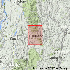
- Grahamville formation
- Modifications:
-
- Named
- Dominant lithology:
-
- Sandstone
- Phyllite
- Dolomite
- Quartzite
- AAPG geologic province:
-
- New England province
Summary:
Named the Grahamville formation in east central VT. Basal part of unit is dark gray-green, massive, albite grit. This is followed by a variety of dark, fine-banded sandstones, sandy graphitic phyllites, and in southern part of outcrop area, buff ankeritic sandstone. The top part, the Plymouth member, consists of massive, gray dolomite and white, vitreous, thin-bedded quartzite. Thickness ranges from 700 to 1,500 feet. Overlies the Tyson formation and underlies the Pinney Hollow formation. The upper contact is arbitrarily placed beneath the lowest green phyllite bed. The Grahamville is of Cambrian age.
Source: GNU records (USGS DDS-6; Reston GNULEX).
For more information, please contact Nancy Stamm, Geologic Names Committee Secretary.
Asterisk (*) indicates published by U.S. Geological Survey authors.
"No current usage" (†) implies that a name has been abandoned or has fallen into disuse. Former usage and, if known, replacement name given in parentheses ( ).
Slash (/) indicates name conflicts with nomenclatural guidelines (CSN, 1933; ACSN, 1961, 1970; NACSN, 1983, 2005, 2021). May be explained within brackets ([ ]).