

- Usage in publication:
-
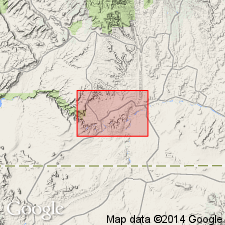
- Goodridge formation*
- Modifications:
-
- Named
- Dominant lithology:
-
- Limestone
- Sandstone
- Shale
- AAPG geologic province:
-
- Paradox basin
Summary:
Named for Goodridge PO, San Juan Co, UT in the Paradox basin. Type locality is at Honaker Trail [sec 29, T41S, R18E] where 1,541 ft of rock measured. Consists of drab, massive crystalline limestone; gray, green, hard, massive sandstone; and red, gray, green to black and carbonaceous shale in the measured section. In the measured section, some of the limestone beds are argillaceous; some nodular chert in the limestone beds; some of the shale beds are sandy and some are calcareous. The basal beds are drab limestone. The uppermost beds are gray hard limestone. Geologic map; cross sections. Extensive lists of fossils. Fossils thought to resemble those found in the Rico and Hermosa Formations. Is the oldest formation in the map area. Underlies Moencopie formation. Assigned a Pennsylvanian age.
Source: GNU records (USGS DDS-6; Denver GNULEX).
For more information, please contact Nancy Stamm, Geologic Names Committee Secretary.
Asterisk (*) indicates published by U.S. Geological Survey authors.
"No current usage" (†) implies that a name has been abandoned or has fallen into disuse. Former usage and, if known, replacement name given in parentheses ( ).
Slash (/) indicates name conflicts with nomenclatural guidelines (CSN, 1933; ACSN, 1961, 1970; NACSN, 1983, 2005, 2021). May be explained within brackets ([ ]).